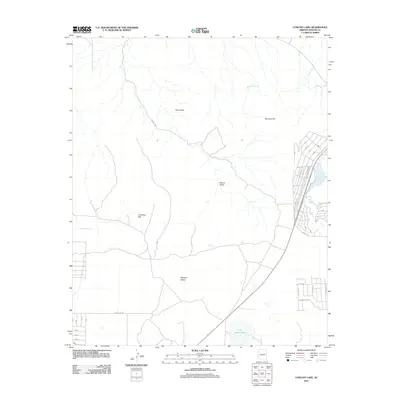
2011 Map of Concho Lake
USGS Topo · Published 2011About this map
Concho Lake and its surrounding high-desert landscape define this portion of Apache County during the early 21st century. Fed by Concho Spring and Concho Creek, the area shows a distinct transition from the open terrain of Round Valley and Critchlow Flat to the more structured residential developments along the lake’s western edge. This map documents a modern network of local roads such as Alpine Ln, Bonita Ln, and Zuni Dr, which reflect the residential growth in the vicinity of the water. To the south, Little Ortega Lake and Mineral Creek suggest the seasonal hydrology of the region, while landmarks like Mormon Hill and Twin Peaks provide prominent relief. Further north and west, features such as Antelope Tank and Candelaria Spring indicate the essential water sources that have supported activity in these valleys for generations.
Find a feature on this map
27 named features on this map. Tap any name to fly to it.
Don’t see what you’re looking for? This feature index may not catch every label — zoom into the map to look around manually.
Map Details
Editions of this 2011 Concho Lake Map
This is the sole edition of this map. No revisions or reprints were ever made.
Other maps of this area

1886 · St Johns
USGS Topo · 1:250,000

1892 · St Johns
USGS Topo · 1:250,000

1954 · Saint Johns
USGS Topo · 1:250,000

1955 · Adamana 4 SW
USGS Topo · 1:24,000

1955 · Adamana 3 SE
USGS Topo · 1:24,000

1955 · Adamana 4 SE
USGS Topo · 1:24,000

1955 · Hunt
USGS Topo · 1:62,500

1957 · Saint Johns
USGS Topo · 1:250,000

1958 · Saint Johns
USGS Topo · 1:250,000

1962 · Saint Johns
USGS Topo · 1:250,000