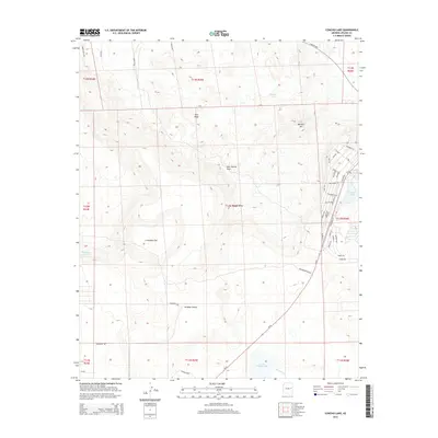
2014 Map of Concho Lake
USGS Topo · Published 2014About this map
Concho Lake and its surrounding residential infrastructure define the eastern edge of this high-desert landscape in Apache County. The map details a sophisticated network of local roads including Apache Ln, Zuni Dr, and Bonita Ln, which serve the area near Concho Spring. This settlement pattern reflects a modern transition from the traditional ranching uses implied by surrounding landmarks like Antelope Tank and Critchlow Flat.
Find a feature on this map
56 named features on this map. Tap any name to fly to it.
Don’t see what you’re looking for? This feature index may not catch every label — zoom into the map to look around manually.
Map Details
Editions of this 2014 Concho Lake Map
This is the sole edition of this map. No revisions or reprints were ever made.
Other maps of this area

1886 · St Johns
USGS Topo · 1:250,000

1892 · St Johns
USGS Topo · 1:250,000

1954 · Saint Johns
USGS Topo · 1:250,000

1955 · Adamana 4 SW
USGS Topo · 1:24,000

1955 · Adamana 3 SE
USGS Topo · 1:24,000

1955 · Adamana 4 SE
USGS Topo · 1:24,000

1955 · Hunt
USGS Topo · 1:62,500

1957 · Saint Johns
USGS Topo · 1:250,000

1958 · Saint Johns
USGS Topo · 1:250,000

1962 · Saint Johns
USGS Topo · 1:250,000