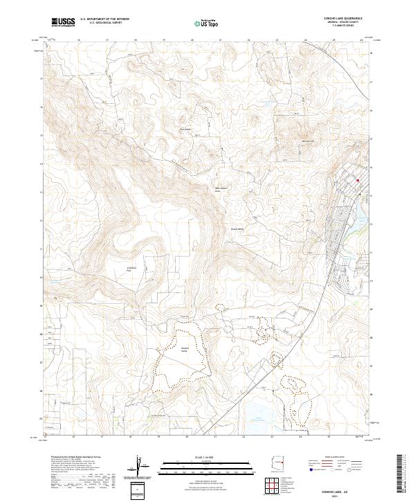
2021 Map of Concho Lake
USGS Topo · Published 2021About this map
Concho Lake and the residential corridors of the White Mountains foothills define this modern topographic landscape. This area, marked by a blend of agricultural valleys and contemporary subdivision growth, centers on the perennial waters of Concho Cr and the important local landmarks of Mormon Hill and Twin Peaks. The map records an intricate network of local access roads like Mesa Redondo Ranch Rd and residential lanes such as Alpine Ln and Navajo Dr, illustrating the ongoing development near the water's edge.
Find a feature on this map
57 named features on this map. Tap any name to fly to it.
Don’t see what you’re looking for? This feature index may not catch every label — zoom into the map to look around manually.
Map Details
Editions of this 2021 Concho Lake Map
This is the sole edition of this map. No revisions or reprints were ever made.
Other maps of this area

1886 · St Johns
USGS Topo · 1:250,000

1892 · St Johns
USGS Topo · 1:250,000

1954 · Saint Johns
USGS Topo · 1:250,000

1955 · Adamana 4 SW
USGS Topo · 1:24,000

1955 · Adamana 3 SE
USGS Topo · 1:24,000

1955 · Adamana 4 SE
USGS Topo · 1:24,000

1955 · Hunt
USGS Topo · 1:62,500

1957 · Saint Johns
USGS Topo · 1:250,000

1958 · Saint Johns
USGS Topo · 1:250,000

1962 · Saint Johns
USGS Topo · 1:250,000