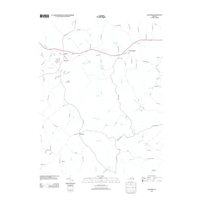
2013 Map of Concord
USGS Topo · Published 2013About this map
Concord and Spout Spring anchor this portion of Campbell County, where the Piedmont landscape is defined by the headwaters and tributaries of the Falling River. This 2013 survey illustrates a rural-residential pattern, with established communities like Sherwill situated along a network of historically named roads such as Toll Gate Rd and Nowlins Mill Rd. The hydrology of the region is notably active, featuring numerous small impoundments including Concord Lake, Paradise Lake, and Gala Lake.
Find a feature on this map
106 named features on this map. Tap any name to fly to it.
Don’t see what you’re looking for? This feature index may not catch every label — zoom into the map to look around manually.
Map Details
Editions of this 2013 Concord Map
This is the sole edition of this map. No revisions or reprints were ever made.
Other maps of this area

1892 · Lynchburg
USGS Topo · 1:125,000

1892 · Appomattox
USGS Topo · 1:125,000

1944 · Lynchburg
USGS Topo · 1:62,500

1947 · Roanoke
USGS Topo · 1:250,000

1950 · Lynchburg
USGS Topo · 1:62,500

1956 · Brookneal
USGS Topo · 1:62,500

1956 · Gladys
USGS Topo · 1:62,500

1958 · Appomattox
USGS Topo · 1:62,500

1959 · Roanoke
USGS Topo · 1:250,000

1963 · Roanoke
USGS Topo · 1:250,000