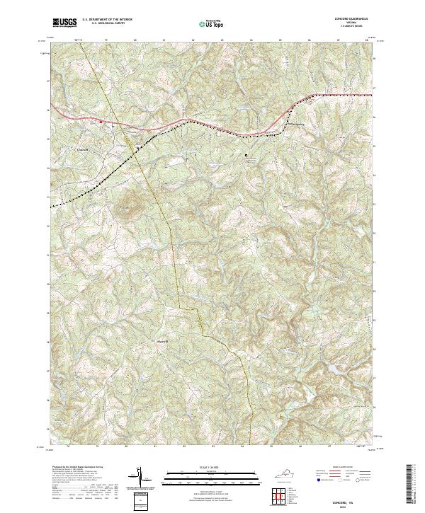
2022 Map of Concord
USGS Topo · Published 2022About this map
The boundary between Appomattox and Campbell counties cuts through this Central Virginia landscape, anchoring the settlements of Concord and Spout Spring. The area's spiritual and genealogical history is centered at the Old Concord Presbyterian Church Cem, alongside the Concord Cem. Water defines the geography here, with several notable impoundments including Townwanda Lake, Phoebe Lake, and Gala Lake providing a contrast to the narrow, winding courses of Falling River and Stonewall Cr.
Find a feature on this map
102 named features on this map. Tap any name to fly to it.
Don’t see what you’re looking for? This feature index may not catch every label — zoom into the map to look around manually.
Map Details
Editions of this 2022 Concord Map
This is the sole edition of this map. No revisions or reprints were ever made.
Other maps of this area

1892 · Lynchburg
USGS Topo · 1:125,000

1892 · Appomattox
USGS Topo · 1:125,000

1944 · Lynchburg
USGS Topo · 1:62,500

1947 · Roanoke
USGS Topo · 1:250,000

1950 · Lynchburg
USGS Topo · 1:62,500

1956 · Brookneal
USGS Topo · 1:62,500

1956 · Gladys
USGS Topo · 1:62,500

1958 · Appomattox
USGS Topo · 1:62,500

1959 · Roanoke
USGS Topo · 1:250,000

1963 · Roanoke
USGS Topo · 1:250,000