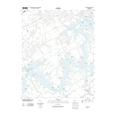
2010 Map of Concord
USGS Topo · Published 2010About this map
Friendsville and the surrounding Tennessee River valley are defined by the expansive waters of Watts Bar Lake and the Little Tennessee River in this 2010 survey. The landscape is characterized by a series of prominent shoals and bluffs, including Turkey Creek Shoals, Coulter Shoals, and Mizell Bluff, reflecting the intricate topography shaped by the river system. Numerous marinas and docks, such as the Lenoir City Marina and Macs Dock, highlight the area's transition into a center for recreation and waterfront living south of Concord Post Office.
Find a feature on this map
114 named features on this map. Tap any name to fly to it.
Don’t see what you’re looking for? This feature index may not catch every label — zoom into the map to look around manually.
Map Details
Editions of this 2010 Concord Map
This is the sole edition of this map. No revisions or reprints were ever made.
Other maps of this area

1895 · Loudon
USGS Topo · 1:125,000

1935 · Binfield
USGS Topo · 1:24,000

1935 · Meadow
USGS Topo · 1:24,000

1935 · Lenoir City
USGS Topo · 1:24,000

1935 · Bethel Valley
USGS Topo · 1:24,000

1935 · Bearden
USGS Topo · 1:24,000

1935 · Lovell
USGS Topo · 1:24,000

1936 · Louisville
USGS Topo · 1:24,000

1936 · Friendship
USGS Topo · 1:48,000

1936 · Loudon
USGS Topo · 1:24,000