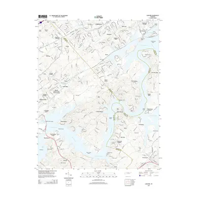
2014 Map of Concord
USGS Topo · Published 2014About this map
Fort Loudon Lake and the Tennessee River dominate the landscape of eastern Tennessee, where the boundaries of Knox, Loudon, and Blount Counties converge. This 2014 survey captures a region defined by its complex waterways and the residential growth extending from Farragut and Lenoir City. The map reveals the intricate shoreline of the Tennessee River, punctuated by features such as Coulter Shoals, Bussell Shoals, and the prominent Saltpeter Bluff. Local history is preserved in numerous family and community burial grounds, including Leeper Cem and Prater Cem, which sit near the river's edge. The presence of Raby Airpark and the residential clusters of Martel and Concord reflect the modern suburban character of the area, while the enduring Antioch Church near Baker Hollow anchors the rural heritage of the southern reaches.
Find a feature on this map
93 named features on this map. Tap any name to fly to it.
Don’t see what you’re looking for? This feature index may not catch every label — zoom into the map to look around manually.
Map Details
Editions of this 2014 Concord Map
This is the sole edition of this map. No revisions or reprints were ever made.
Other maps of this area

1895 · Loudon
USGS Topo · 1:125,000

1935 · Binfield
USGS Topo · 1:24,000

1935 · Meadow
USGS Topo · 1:24,000

1935 · Lenoir City
USGS Topo · 1:24,000

1935 · Bethel Valley
USGS Topo · 1:24,000

1935 · Bearden
USGS Topo · 1:24,000

1935 · Lovell
USGS Topo · 1:24,000

1936 · Louisville
USGS Topo · 1:24,000

1936 · Friendship
USGS Topo · 1:48,000

1936 · Loudon
USGS Topo · 1:24,000