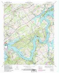
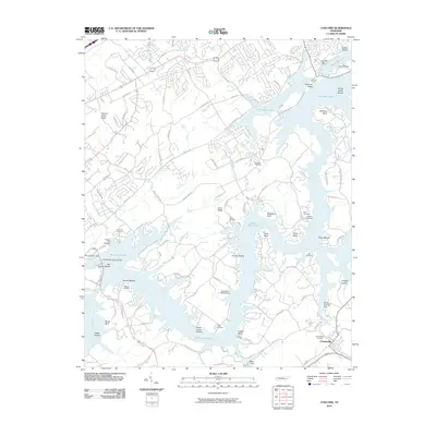
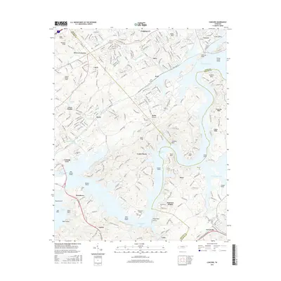
1968 Map of Concord
USGS Topo · Published 1985About this map
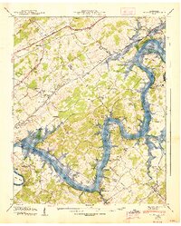
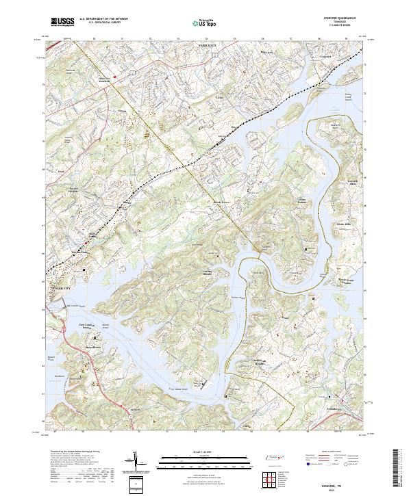
Fort Loudoun Dam and its complex riverine landscape define this area of East Tennessee, where the Tennessee River transitions into the expansive Fort Loudoun Lake. The map reveals a region undergoing suburban transition in the late 1960s, with emerging residential clusters like Martel Estates and Scenic Point Estates appearing alongside older established communities. The transport infrastructure is a focal point, featuring the convergence of the Southern Railway and major thoroughfares like Kingston Pike and Lee Highway.
Find a feature on this map
84 named features on this map. Tap any name to fly to it.
Don’t see what you’re looking for? This feature index may not catch every label — zoom into the map to look around manually.
Map Details
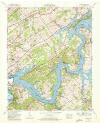
Editions of this 1968 Concord Map
2 editions found
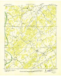
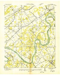
Historical Maps of Farragut Through Time
17 maps found
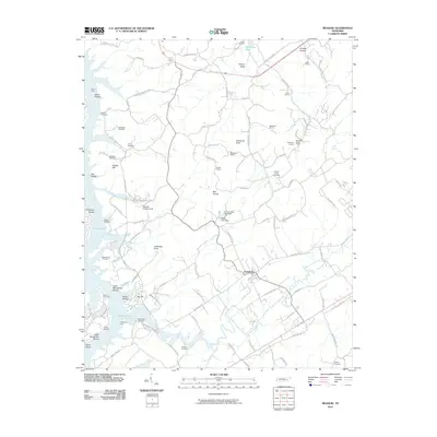
1935 Meadow
Loudon County, TN
1936 Concord
Loudon County, TN
1940 Concord
Loudon County, TN
1940 Meadow
Loudon County, TN
1952 Meadow
Loudon County, TN
1953 Concord
Loudon County, TN
1968 Concord
Loudon County, TN
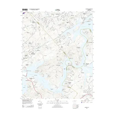
2010 Concord
Loudon County, TN
2010 Meadow
Loudon County, TN
2013 Meadow
Loudon County, TN
2014 Concord
Loudon County, TN
2016 Concord
Loudon County, TN
2016 Meadow
Loudon County, TN
2019 Concord
Loudon County, TN
2019 Meadow
Loudon County, TN
2022 Concord
Loudon County, TN
2022 Meadow
Loudon County, TN