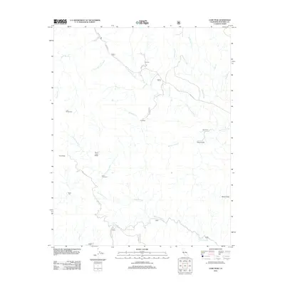
2012 Map of Cone Peak
USGS Topo · Published 2012About this map
The Santa Lucia Range dominates this landscape, where the dramatic elevation of Cone Peak rises above the drainage basins of the N Fork San Antonio River and the Nacimiento River. The area is defined by its network of remote outposts and forest access routes, including Indians Rd and the Cone Peak Rd. Cultural landmarks like The Indian and family-named properties such as Avila Ranch and Merle Ranch reflect the long-standing human presence in these canyons.
Find a feature on this map
31 named features on this map. Tap any name to fly to it.
Don’t see what you’re looking for? This feature index may not catch every label — zoom into the map to look around manually.
Map Details
Editions of this 2012 Cone Peak Map
This is the sole edition of this map. No revisions or reprints were ever made.
Other maps of this area

1919 · Junipero Serra
USGS Topo · 1:62,500

1921 · Cape San Martin
USGS Topo · 1:62,500

1921 · Lucia
USGS Topo · 1:62,500

1941 · Cape San Martin
USGS Topo · 1:62,500

1941 · Lucia
USGS Topo · 1:62,500

1941 · Junipero Serra
USGS Topo · 1:62,500

1942 · Cape San Martin
USGS Topo · 1:62,500

1947 · Lucia
USGS Topo · 1:62,500

1947 · San Luis Obispo
USGS Topo · 1:250,000

1948 · Santa Cruz
USGS Topo · 1:250,000