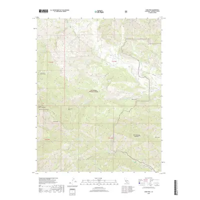
2018 Map of Cone Peak
USGS Topo · Published 2018About this map
Los Padres National Forest dominates this section of the Santa Lucia Range, where steep canyons and high ridges dictate the movement of water and travelers alike. The southern portion of the map is defined by the federal holdings of Fort Hunter Liggett, a military training installation that shares borders with the national forest. The hydrological network here is complex, with the San Antonio River and its N Fork San Antonio River cutting deep through the terrain alongside Wizard Gulch. High elevation points like Cone Peak overlook significant drainages including the Nacimiento River and Arroyo Seco. Historic access routes such as the Nacimiento-Fergusson Rd and the Coast Ridge Trl provide the primary infrastructure through these protected lands, connecting remote water sources like Redwood Spring and Carrizo Spring.
Find a feature on this map
32 named features on this map. Tap any name to fly to it.
Don’t see what you’re looking for? This feature index may not catch every label — zoom into the map to look around manually.
Map Details
Editions of this 2018 Cone Peak Map
This is the sole edition of this map. No revisions or reprints were ever made.
Other maps of this area

1919 · Junipero Serra
USGS Topo · 1:62,500

1921 · Cape San Martin
USGS Topo · 1:62,500

1921 · Lucia
USGS Topo · 1:62,500

1941 · Cape San Martin
USGS Topo · 1:62,500

1941 · Lucia
USGS Topo · 1:62,500

1941 · Junipero Serra
USGS Topo · 1:62,500

1942 · Cape San Martin
USGS Topo · 1:62,500

1947 · Lucia
USGS Topo · 1:62,500

1947 · San Luis Obispo
USGS Topo · 1:250,000

1948 · Santa Cruz
USGS Topo · 1:250,000