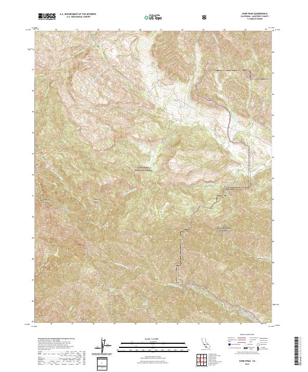
2021 Map of Cone Peak
USGS Topo · Published 2021About this map
Cone Peak dominates the landscape of the Santa Lucia Range in this recent survey of Monterey County. The terrain is defined by a dense network of drainages including the Arroyo Seco and the N Fork San Antonio River, which carve through the Los Padres National Forest. The map documents the interface between protected federal wilderness and the military training grounds of Fort Hunter Liggett, particularly where the Nacimiento River crosses the southern boundary. This area is a critical junction for trail systems, showing established routes like the Coast Ridge Trl and Cone Peak Trl that navigate the ridges above South Fork Devils Canyon. The inclusion of family-named or descriptive landmarks like Wizard Gulch and Corrals Spring provides valuable points of reference for those studying the land use and topographic history of the Central Coast mountains.
Find a feature on this map
40 named features on this map. Tap any name to fly to it.
Don’t see what you’re looking for? This feature index may not catch every label — zoom into the map to look around manually.
Map Details
Editions of this 2021 Cone Peak Map
This is the sole edition of this map. No revisions or reprints were ever made.
Other maps of this area

1919 · Junipero Serra
USGS Topo · 1:62,500

1921 · Cape San Martin
USGS Topo · 1:62,500

1921 · Lucia
USGS Topo · 1:62,500

1941 · Cape San Martin
USGS Topo · 1:62,500

1941 · Lucia
USGS Topo · 1:62,500

1941 · Junipero Serra
USGS Topo · 1:62,500

1942 · Cape San Martin
USGS Topo · 1:62,500

1947 · Lucia
USGS Topo · 1:62,500

1947 · San Luis Obispo
USGS Topo · 1:250,000

1948 · Santa Cruz
USGS Topo · 1:250,000