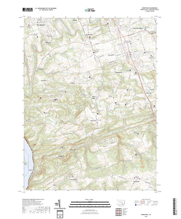
2023 Map of Conestoga
USGS Topo · Published 2023About this map
The winding course of the Conestoga River and the broad Susquehanna River anchor this map of southern Lancaster County. The landscape is deeply tied to its agrarian and religious roots, evidenced by the high density of family graveyards and denominational burial grounds. Genealogists will find a wealth of records in sites like the Philip Lefevre Burying Ground and the Bender-Immel Family Graveyard.
Find a feature on this map
127 named features on this map. Tap any name to fly to it.
Don’t see what you’re looking for? This feature index may not catch every label — zoom into the map to look around manually.
Map Details
Editions of this 2023 Conestoga Map
This is the sole edition of this map. No revisions or reprints were ever made.
Other maps of this area

1902 · Lancaster
USGS Topo · 1:62,500

1904 · Lancaster
USGS Topo · 1:62,500

1906 · New Holland
USGS Topo · 1:62,500

1908 · New Holland
USGS Topo · 1:62,500
1912 · Quarryville
USGS Topo · 1:62,500
1912 · Mc Calls Ferry
USGS Topo · 1:62,500

1941 · New Holland
USGS Topo · 1:62,500
1943 · Lancaster
USGS Topo · 1:62,500
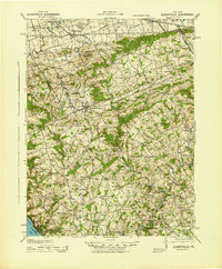
1943 · Quarryville
USGS Topo · 1:62,500
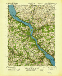
1943 · Mc Calls Ferry
USGS Topo · 1:62,500
Featured Places
- West Lampeter Township, PA
- Willow Street, West Lampeter Township
- Millersville, PA
- Pequea, Conestoga Township
- Conestoga Township, PA