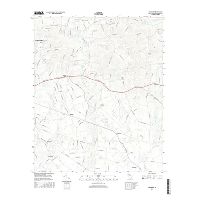
2017 Map of Congaree
USGS Topo · Published 2017About this map
Mc Entire Joint National Guard Base dominates the central landscape of this South Carolina quadrangle, illustrating the significant military footprint east of the state capital. The area is defined by a series of small settlements and family-named landmarks that trace the rural development of Richland County. Pockets of habitation like Hopkins, Horrel Hill, and Gadsden are connected by a network of historic routes including Old Leesburg Rd and Garners Ferry Rd.
Find a feature on this map
135 named features on this map. Tap any name to fly to it.
Don’t see what you’re looking for? This feature index may not catch every label — zoom into the map to look around manually.
Map Details
Editions of this 2017 Congaree Map
This is the sole edition of this map. No revisions or reprints were ever made.
Other maps of this area

1935 · Killian
USGS Topo · 1:48,000

1937 · Killian
USGS Topo · 1:62,500

1938 · Hagood
USGS Topo · 1:62,500

1941 · Spartanburg
USGS Topo · 1:250,000

1942 · Camden
USGS Topo · 1:125,000

1943 · Eastover
USGS Topo · 1:62,500

1948 · Hopkins
USGS Topo · 1:62,500

1953 · Messers Pond
USGS Topo · 1:24,000

1953 · Saylors Lake
USGS Topo · 1:24,000

1953 · Fort Jackson South
USGS Topo · 1:24,000