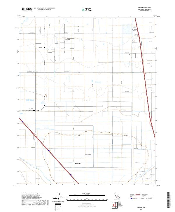
2021 Map of Conner
USGS Topo · Published 2021About this map
The Central Valley agricultural landscape of Kern County is defined by a grid of rural roads and irrigation works like the Stine Canal and Farmers Canal. In this southern stretch of the San Joaquin Valley, the land use pattern centers on the dry expanse of the Kern Lake Bed, where the remnant Kern Lake and the New Rim Ditch trace the hydrological history of a once-watery basin now managed for cultivation. Small settlements like Lakeside and Alameda are positioned along a network of family-named thoroughfares such as Houghton Rd and Gosford Rd. In the western portion of the quadrangle, the community of Conner sits at the intersection of Old River Rd and Millux Rd, illustrating the transition from traditional farmsteads to the modern transit corridors of Bear Mountain Blvd.
Find a feature on this map
38 named features on this map. Tap any name to fly to it.
Don’t see what you’re looking for? This feature index may not catch every label — zoom into the map to look around manually.
Map Details
Editions of this 2021 Conner Map
This is the sole edition of this map. No revisions or reprints were ever made.
Other maps of this area

1910 · Buena Vista Lake
USGS Topo · 1:125,000

1912 · Buena Vista Lake
USGS Topo · 1:125,000

1914 · Caliente
USGS Topo · 1:125,000

1929 · Stevens
USGS Topo · 1:31,680

1929 · Fairfax School
USGS Topo · 1:31,680

1930 · Weed Patch
USGS Topo · 1:31,680

1930 · Millux
USGS Topo · 1:31,680

1930 · Conner
USGS Topo · 1:31,680

1931 · West of Tejon Hills
USGS Topo · 1:31,680

1931 · Hayes Ranch
USGS Topo · 1:31,680