
1967 Map of Connerville SE
USGS Topo · Published 1968About this map
The Blue River carves a winding path through this portion of Johnston County, punctuated by several notable water features including Big Falls, Cheadle Falls, and Desperado Spring. The landscape is a patchwork of woodland and clearings, defined by early land boundaries like Harrison, Brogdon, and Garrett. In the southeast corner, the presence of an Old Railroad Grade indicates the shifting transportation infrastructure of the mid-20th century.
Find a feature on this map
29 named features on this map. Tap any name to fly to it.
Don’t see what you’re looking for? This feature index may not catch every label — zoom into the map to look around manually.
Map Details
Editions of this 1967 Connerville SE Map
This is the sole edition of this map. No revisions or reprints were ever made.
Other maps of this area

1899 · Atoka
USGS Topo · 1:125,000

1900 · Atoka
USGS Topo · 1:125,000

1901 · Tishomingo
USGS Topo · 1:125,000

1957 · Ardmore
USGS Topo · 1:250,000

1963 · Ardmore
USGS Topo · 1:250,000

1967 · Connerville
USGS Topo · 1:24,000
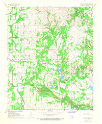
1967 · Connerville NE
USGS Topo · 1:24,000

1967 · Tishomingo
USGS Topo · 1:24,000
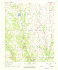
1967 · Reagan
USGS Topo · 1:24,000
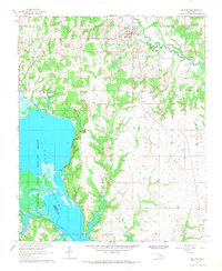
1967 · Milburn
USGS Topo · 1:24,000