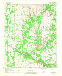
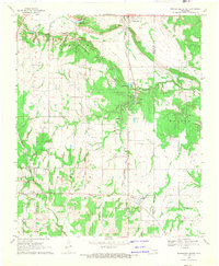
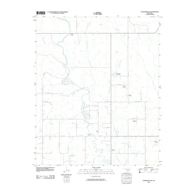
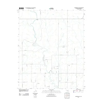
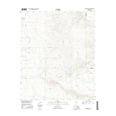
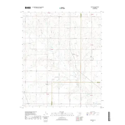
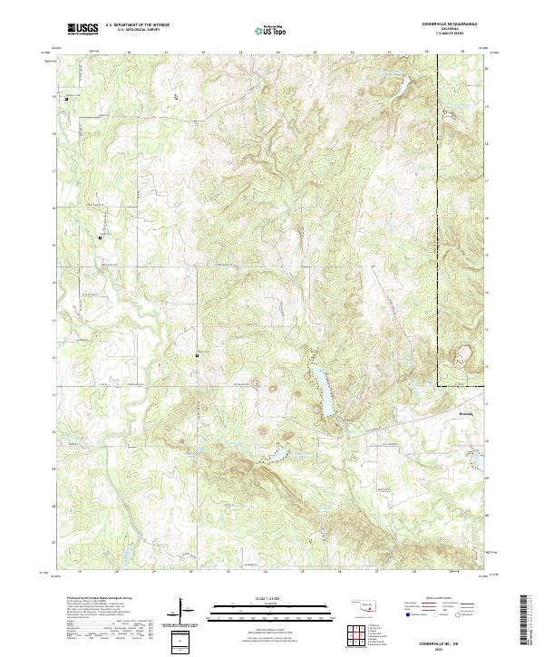
1967 Map of Connerville NE
USGS Topo · Published 1968About this map
Blue River and the Harris River wind through this Johnston and Coal County landscape during the late 1960s. The small settlements of Pontotoc and Bromide anchor the northwest and southeast corners, representing the local hubs of this rural Oklahoma region. Topographic detail captures a network of spring-fed waters, including the curiously named Witch Hole and Deadman Spring, alongside Houghtubby Spring and Rutherford Spring.
Find a feature on this map
29 named features on this map. Tap any name to fly to it.
Don’t see what you’re looking for? This feature index may not catch every label — zoom into the map to look around manually.
Map Details
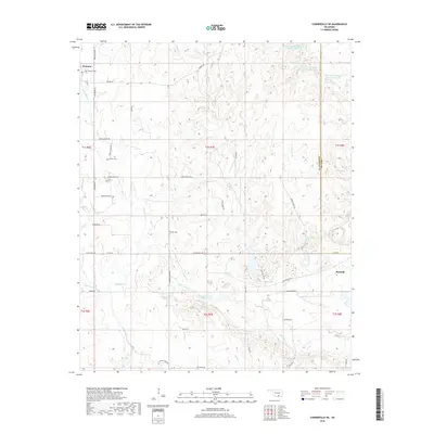
Editions of this 1967 Connerville NE Map
This is the sole edition of this map. No revisions or reprints were ever made.
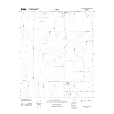
Historical Maps of Bromide Through Time
30 maps found
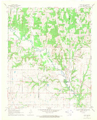
1963 Troy
Johnston County, OK
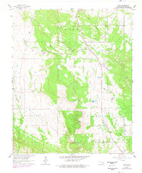
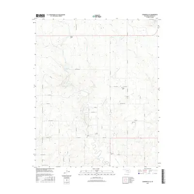
1967 Connerville NE
Johnston County, OK
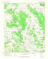
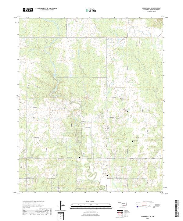
1967 Connerville SE
Johnston County, OK
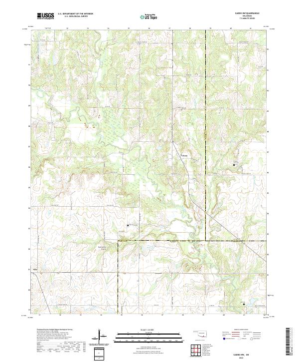
1968 Caddo NW
Johnston County, OK
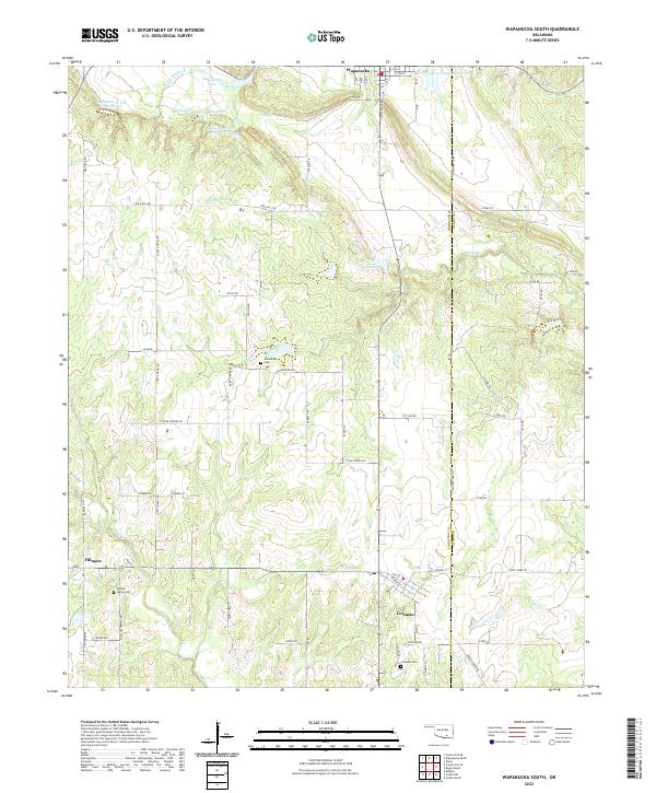
1968 Wapanucka South
Johnston County, OK
2009 Connerville NE
Johnston County, OK
2009 Wapanucka South
Johnston County, OK
2010 Caddo NW
Johnston County, OK
2010 Connerville SE
Johnston County, OK
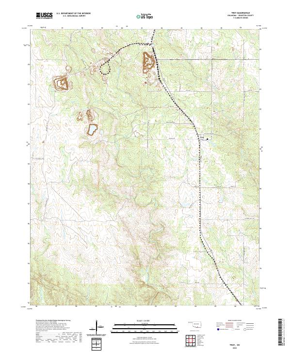
2010 Troy
Johnston County, OK
2012 Caddo NW
Johnston County, OK
2012 Connerville NE
Johnston County, OK
2012 Connerville SE
Johnston County, OK
2012 Wapanucka South
Johnston County, OK
2013 Troy
Johnston County, OK
2016 Caddo NW
Johnston County, OK
2016 Connerville NE
Johnston County, OK
2016 Connerville SE
Johnston County, OK
2016 Troy
Johnston County, OK
2016 Wapanucka South
Johnston County, OK
2018 Caddo NW
Johnston County, OK
2018 Connerville NE
Johnston County, OK
2018 Connerville SE
Johnston County, OK
2018 Troy
Johnston County, OK
2018 Wapanucka South
Johnston County, OK
2022 Caddo NW
Johnston County, OK
2022 Connerville NE
Johnston County, OK
2022 Connerville SE
Johnston County, OK
2022 Troy
Johnston County, OK
2022 Wapanucka South
Johnston County, OK