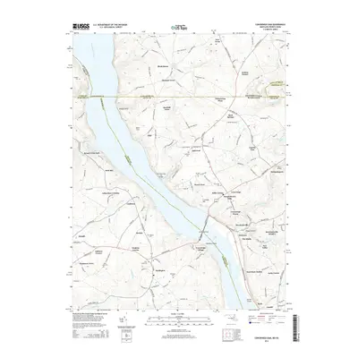
2014 Map of Conowingo Dam
USGS Topo · Published 2014About this map
Conowingo Dam stands as the central landmark of this landscape, anchoring a complex geography where the Susquehanna River meets the border of Pennsylvania and Maryland. This 2014 survey illustrates the intricate intersection of Cecil, Harford, Lancaster, and Chester counties, revealing a region defined by historical crossing points and river-bank settlements. The presence of the Old Conowingo Iron Bridge nearby highlights the area's older transportation infrastructure, while modern developments like Conowingo Village and Susquehanna Hills show the evolving residential patterns on the Maryland side.
Find a feature on this map
166 named features on this map. Tap any name to fly to it.
Don’t see what you’re looking for? This feature index may not catch every label — zoom into the map to look around manually.
Map Details
Editions of this 2014 Conowingo Dam Map
This is the sole edition of this map. No revisions or reprints were ever made.
Other maps of this area

1900 · Havre De Grace
USGS Topo · 1:62,500

1901 · Belair
USGS Topo · 1:62,500

1912 · Quarryville
USGS Topo · 1:62,500

1912 · Mc Calls Ferry
USGS Topo · 1:62,500

1942 · Havre De Grace
USGS Topo · 1:62,500

1942 · Bel Air
USGS Topo · 1:62,500

1943 · Quarryville
USGS Topo · 1:62,500

1943 · Mc Calls Ferry
USGS Topo · 1:62,500

1945 · Bel Air
USGS Topo · 1:62,500

1948 · Baltimore
USGS Topo · 1:250,000