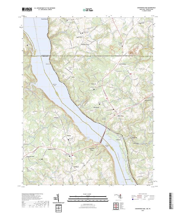
2023 Map of Conowingo Dam
USGS Topo · Published 2023About this map
The Susquehanna River carves a deep valley through the borderlands of Maryland and Pennsylvania, acting as the primary geographic driver for the local network of ferries and small riverside hamlets. This landscape is defined by its transition from the steep river bluffs at Wildcat Point to the upland farming communities of Darlington and Berkley. The river crossing at Bald Friar Ferry historically connected these banks long before modern infrastructure, while the current topography reveals the industrial footprint at Conowingo Village. Numerous small cemeteries, such as the Deer Creek Friends Meeting Cem and Rock Springs Baptist Church Cem, are scattered across the ridges, serving as vital records of early Quaker and Baptist settlement patterns. Small water bodies like Octoraro Lakes and the winding course of Conowingo Creek drain the surrounding heights into the main river channel.
Find a feature on this map
161 named features on this map. Tap any name to fly to it.
Don’t see what you’re looking for? This feature index may not catch every label — zoom into the map to look around manually.
Map Details
Editions of this 2023 Conowingo Dam Map
This is the sole edition of this map. No revisions or reprints were ever made.
Other maps of this area

1900 · Havre De Grace
USGS Topo · 1:62,500

1901 · Belair
USGS Topo · 1:62,500

1912 · Quarryville
USGS Topo · 1:62,500

1912 · Mc Calls Ferry
USGS Topo · 1:62,500

1942 · Havre De Grace
USGS Topo · 1:62,500

1942 · Bel Air
USGS Topo · 1:62,500

1943 · Quarryville
USGS Topo · 1:62,500

1943 · Mc Calls Ferry
USGS Topo · 1:62,500

1945 · Bel Air
USGS Topo · 1:62,500

1948 · Baltimore
USGS Topo · 1:250,000