Loading...
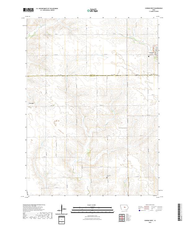
Loading map...2022 Map of Conrad West
USGS Topo · Published 2022About this map
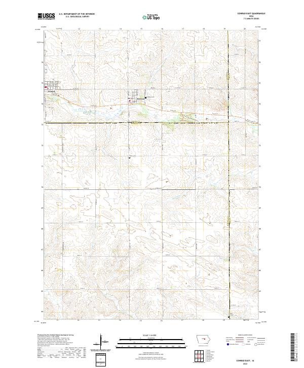
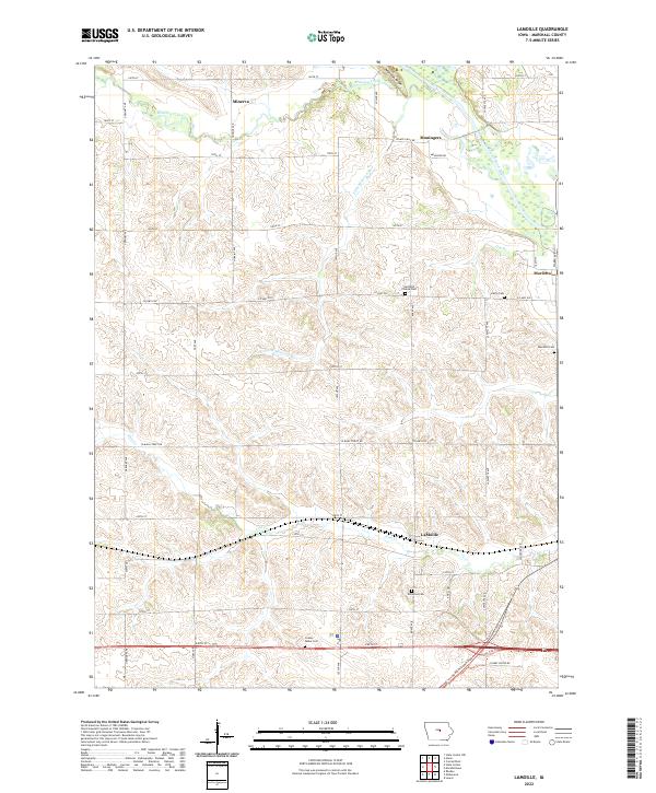
Wolf Cr and its tributaries carve a network of drainage across this central Iowa landscape, defining the agricultural character of the region on the border of Grundy and Marshall Counties. The town of Conrad occupies the northeastern corner, where the Conrad Cem sits near the local drainage of Asher Cr. To the west, the settlement of Liscomb is positioned on higher ground above Chicken Cr.
Find a feature on this map
26 named features on this map. Tap any name to fly to it.
Don’t see what you’re looking for? This feature index may not catch every label — zoom into the map to look around manually.
Map Details
Date Portrayed2022
Date Published2022
PublisherU.S. Geological Survey
Map TypeTopographic
Scale1:24000
Physical Dimensions24 x 29 inches
Editions of this 2022 Conrad West Map
This is the sole edition of this map. No revisions or reprints were ever made.
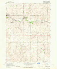
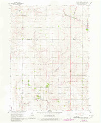
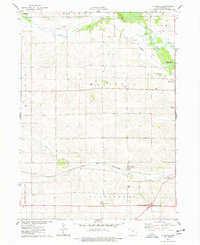
Historical Maps of Taylor Township Through Time
8 maps found
Featured Locations
Source Details
SourceU.S. Geological Survey
CopyrightPublic Domain