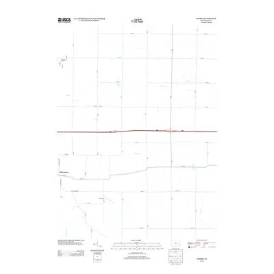
2013 Map of Conroy
USGS Topo · Published 2013About this map
Williamsburg and the small unincorporated community of Conroy anchor this Iowa County landscape in the early 21st century. The map depicts a transitional geography where the traditional section-line grid of rural roads, such as 180th St and 260th St, meets the heavy infrastructure of Interstate 80 and the growing commercial edge of the city. Notable for local aviation and transportation history, the area features Weiss Airport south of town and the development along Industrial Park Dr, reflecting the region's modern economic shifts. Several watercourses, including Clear Cr, Convey Cr, and Old Mans Cr, wind through the township, providing a natural contrast to the rigid geometry of the surrounding agricultural and industrial zones.
Find a feature on this map
35 named features on this map. Tap any name to fly to it.
Don’t see what you’re looking for? This feature index may not catch every label — zoom into the map to look around manually.
Map Details
Editions of this 2013 Conroy Map
This is the sole edition of this map. No revisions or reprints were ever made.
Other maps of this area

1888 · Amana
USGS Topo · 1:62,500

1889 · Amana
USGS Topo · 1:62,500

1891 · Oxford
USGS Topo · 1:62,500

1894 · Oxford
USGS Topo · 1:62,500

1899 · Amana
USGS Topo · 1:62,500

1903 · Fairfax
USGS Topo · 1:125,000

1954 · Des Moines
USGS Topo · 1:250,000

1956 · Des Moines
USGS Topo · 1:250,000

1957 · Des Moines
USGS Topo · 1:250,000

1958 · Davenport
USGS Topo · 1:250,000