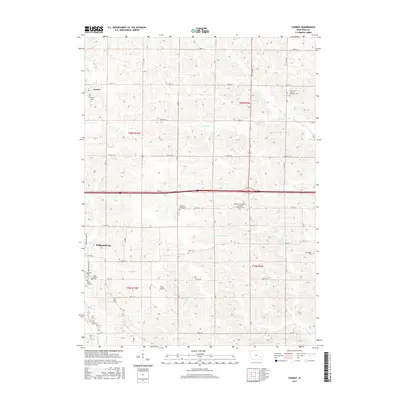
2015 Map of Conroy
USGS Topo · Published 2015About this map
Conroy and the northern reaches of Williamsburg occupy this Iowa County landscape, characterized by a dense network of sectional roads and traditional agricultural land divisions. The distribution of spiritual and commemorative sites, including German Evangelical Lutheran Emanuel Cem and Saint John's German Lutheran Cem, reflects the heritage of German settlement in this region. These small, scattered burial grounds are interspersed among the drainages of Clear Cr and Convey Cr. The transportation infrastructure is anchored by the east-west corridor of 220th ST, which bisects the quadrangle between the townships of T80N and T79N. Near the southern edge, Weiss Airport sits among the fields, while numerous family and community landmarks like Harrington Cem and Dane Cem offer specific touchpoints for local genealogical research.
Find a feature on this map
35 named features on this map. Tap any name to fly to it.
Don’t see what you’re looking for? This feature index may not catch every label — zoom into the map to look around manually.
Map Details
Editions of this 2015 Conroy Map
This is the sole edition of this map. No revisions or reprints were ever made.
Other maps of this area

1888 · Amana
USGS Topo · 1:62,500

1889 · Amana
USGS Topo · 1:62,500

1891 · Oxford
USGS Topo · 1:62,500

1894 · Oxford
USGS Topo · 1:62,500

1899 · Amana
USGS Topo · 1:62,500

1903 · Fairfax
USGS Topo · 1:125,000

1954 · Des Moines
USGS Topo · 1:250,000

1956 · Des Moines
USGS Topo · 1:250,000

1957 · Des Moines
USGS Topo · 1:250,000

1958 · Davenport
USGS Topo · 1:250,000