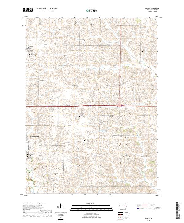
2022 Map of Conroy
USGS Topo · Published 2022About this map
Williamsburg and the smaller settlement of Conroy anchor this Iowa landscape, which is defined by a dense network of early 21st-century section roads and agricultural drainages. The area is notable for its exceptional concentration of rural burial grounds and religious sites, such as the Trinity Lutheran Cem and Saint John Lutheran Cem, reflecting the deep-rooted heritage of the local communities. The terrain is bisected by the east-west corridor of 220th St and framed by the meanders of Clear Cr and Convey Cr. These watercourses dictate the subtle topography of the prairie, where family and congregational history is preserved in sites like the Old Scotch Cem and Pleasant Ridge Cem. The grid-like arrangement of roads like Co Hwy F35 and Co Hwy F46 illustrates the systematic organization of the region's productive farmland.
Find a feature on this map
34 named features on this map. Tap any name to fly to it.
Don’t see what you’re looking for? This feature index may not catch every label — zoom into the map to look around manually.
Map Details
Editions of this 2022 Conroy Map
This is the sole edition of this map. No revisions or reprints were ever made.
Other maps of this area

1888 · Amana
USGS Topo · 1:62,500

1889 · Amana
USGS Topo · 1:62,500

1891 · Oxford
USGS Topo · 1:62,500

1894 · Oxford
USGS Topo · 1:62,500

1899 · Amana
USGS Topo · 1:62,500

1903 · Fairfax
USGS Topo · 1:125,000

1954 · Des Moines
USGS Topo · 1:250,000

1956 · Des Moines
USGS Topo · 1:250,000

1957 · Des Moines
USGS Topo · 1:250,000

1958 · Davenport
USGS Topo · 1:250,000