Loading...
Loading map...2023 Map of Continental
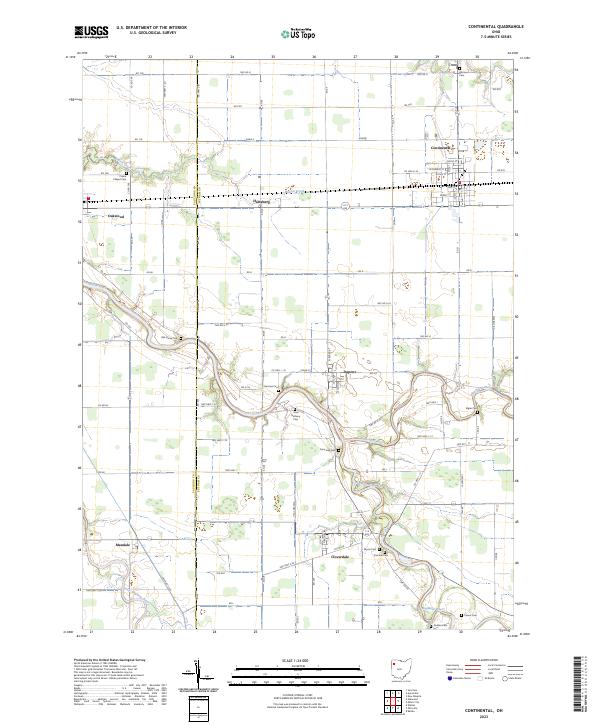
USGS Topo · Published 2023About this map
The Auglaize River and its major tributaries, the Blanchard River and Little Auglaize River, converge in this agricultural landscape on the border of Paulding and Putnam Counties. The settlement at Continental serves as a primary hub, with its grid of streets including Grove St and Wash St situated near the Monroe Cem. This area is characterized by small rural hamlets like Dupont, Cloverdale, Hartsburg, and Oakwood, each connected by a dense network of township roads.
Find a feature on this map
88 named features on this map. Tap any name to fly to it.
Don’t see what you’re looking for? This feature index may not catch every label — zoom into the map to look around manually.
Map Details
Date Portrayed2023
Date Published2023
PublisherU.S. Geological Survey
Map TypeTopographic
Scale1:24000
Physical Dimensions24 x 29 inches
Editions of this 2023 Continental Map
This is the sole edition of this map. No revisions or reprints were ever made.
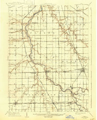
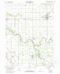
Historical Maps of Oakwood Through Time
3 maps found
Featured Locations
- Perry Township, OH
- Oakwood, OH
- Cloverdale, Perry Township
- Dupont, Perry Township
- Continental, Monroe Township
Source Details
SourceU.S. Geological Survey
CopyrightPublic Domain