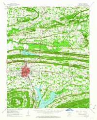
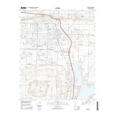
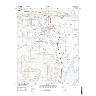
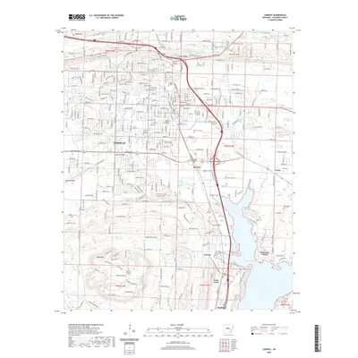
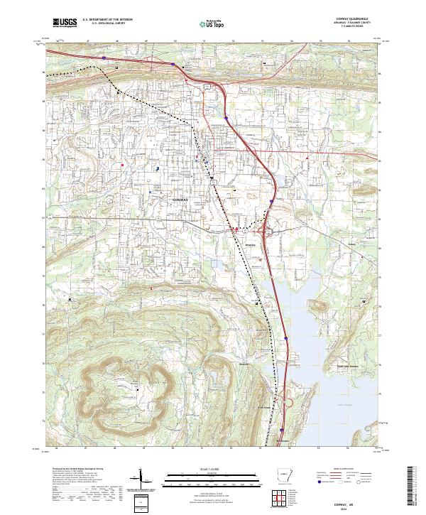
1983 Map of Conway
USGS Topo · Published 1984About this map
The Arkansas River corridor dominates this 1980s landscape, serving as the central artery for the region's transportation and industry. The Missouri Pacific RR tracks parallel the river's winding path through Morrilton, Blackwell, and Atkins, following the historic floodplain. This era of the Arkansas interior shows a transition from traditional river-and-rail settlements like Toad Suck and Menifee toward larger water-management and recreation areas. To the northeast, the sprawling waters of Greers Ferry Lake represent the massive mid-century hydraulic engineering projects that reshaped the Ozark foothills. Genealogists can locate rural landmarks such as Plants Chapel and Sardis Cem, while the inclusion of the Camp Robinson State Wildlife Management Area and Gulf Mountain State Wildlife Management Area highlights the extensive public land use in the central part of the state.
Find a feature on this map
107 named features on this map. Tap any name to fly to it.
Don’t see what you’re looking for? This feature index may not catch every label — zoom into the map to look around manually.
Map Details
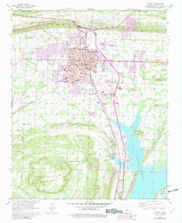
Editions of this 1983 Conway Map
This is the sole edition of this map. No revisions or reprints were ever made.
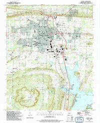
Historical Maps of Conway Through Time
9 maps found