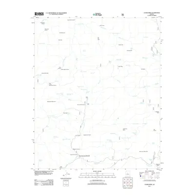
2011 Map of Cooks Mesa
USGS Topo · Published 2011About this map
Road Junction Windmill sits at a critical junction of back-country routes in the southern portion of this high-desert landscape. The topography is dominated by dramatic drainages like Burnt Hole Canyon and Grapevine Canyon, which cut through elevated features including Cooks Mesa and Grapevine Mesa. The presence of Cooks Ranch and Upper Ranch along the course of the New River suggests a legacy of cattle operations, a fact further supported by the dense network of remote water sources such as Tin Trough Spring, Homestead Spring, and numerous stock tanks. This network of springs, such as Laurel Hole Spring and Cavness Spring, illustrates the vital importance of water management in this arid Arizona terrain. Notable landmarks like Blackjack Point and Monument Mountain provide high-ground orientation for those traversing the rugged canyons and winding roads.
Find a feature on this map
88 named features on this map. Tap any name to fly to it.
Don’t see what you’re looking for? This feature index may not catch every label — zoom into the map to look around manually.
Map Details
Editions of this 2011 Cooks Mesa Map
This is the sole edition of this map. No revisions or reprints were ever made.
Other maps of this area

1887 · Verde
USGS Topo · 1:250,000

1887 · Prescott
USGS Topo · 1:250,000

1892 · Verde
USGS Topo · 1:250,000

1892 · Prescott
USGS Topo · 1:250,000

1903 · Bradshaw Mountains
USGS Topo · 1:125,000

1929 · Turret Peak
USGS Topo · 1:125,000

1930 · Cave Creek
USGS Topo · 1:125,000

1933 · Turret Peak
USGS Topo · 1:125,000

1939 · Cave Creek
USGS Topo · 1:125,000

1947 · Bumblebee
USGS Topo · 1:62,500