
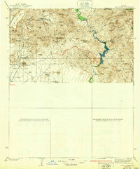
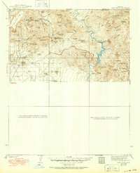
1939 Map of Cave Creek
USGS Topo · Published 1939About this map
The Mazatzal Mts and the winding Verde River dominate this 1930s landscape, illustrating a transition between the rugged high desert and the growing ranching interests of the Salt River Valley. This area shows a distinct mid-century western character, where working cattle operations like Browns Ranch and Cartwright Ranch existed alongside the emerging tourism of the Spur Cross Dude Ranch. The inclusion of the Mormon Girl Mine near Black Mtn highlights the persistent search for mineral wealth that defined early Maricopa County settlement. Remote outposts such as the Ashdale Ranger Sta and the Sears Kay Ranch are positioned among complex terrain features like Continental Mtn and Skull Mesa, providing a rare look at the network of backcountry trails and washes before the post-war expansion of Phoenix altered the rural character of Cavecreek.
Find a feature on this map
73 named features on this map. Tap any name to fly to it.
Don’t see what you’re looking for? This feature index may not catch every label — zoom into the map to look around manually.
Map Details
Editions of this 1939 Cave Creek Map
3 editions found
Other maps of this area

1887 · Verde
USGS Topo · 1:250,000

1887 · Prescott
USGS Topo · 1:250,000

1892 · Verde
USGS Topo · 1:250,000

1892 · Prescott
USGS Topo · 1:250,000

1900 · Florence
USGS Topo · 1:125,000

1902 · Florence
USGS Topo · 1:125,000

1903 · Bradshaw Mountains
USGS Topo · 1:125,000

1904 · Camelback
USGS Topo · 1:62,500

1904 · Desert Well
USGS Topo · 1:62,500

1904 · Ft. McDowell
USGS Topo · 1:62,500