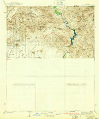
1939 Map of Cave Creek
USGS Topo · Published 1939About this map
Tonto National Forest defines much of this landscape, where the Verde River cuts through the desert and mountain transition north of Phoenix. The map reflects a working backcountry in the late 1920s and 30s, dotted with established cattle and guest operations such as Lewis Ranch, Cartwright Ranch, and the Spur Cross Dude Ranch. At the heart of the region, the small settlement of Cavecreek serves as a hub near the Mormon Girl Mine, indicating the dual importance of prospecting and ranching to the local economy.
Find a feature on this map
73 named features on this map. Tap any name to fly to it.
Don’t see what you’re looking for? This feature index may not catch every label — zoom into the map to look around manually.
Map Details
Editions of this 1939 Cave Creek Map
3 editions found

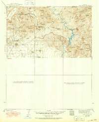
Other maps of this area

1887 · Verde
USGS Topo · 1:250,000

1887 · Prescott
USGS Topo · 1:250,000

1892 · Verde
USGS Topo · 1:250,000

1892 · Prescott
USGS Topo · 1:250,000

1900 · Florence
USGS Topo · 1:125,000

1902 · Florence
USGS Topo · 1:125,000

1903 · Bradshaw Mountains
USGS Topo · 1:125,000

1904 · Camelback
USGS Topo · 1:62,500

1904 · Desert Well
USGS Topo · 1:62,500

1904 · Ft. McDowell
USGS Topo · 1:62,500