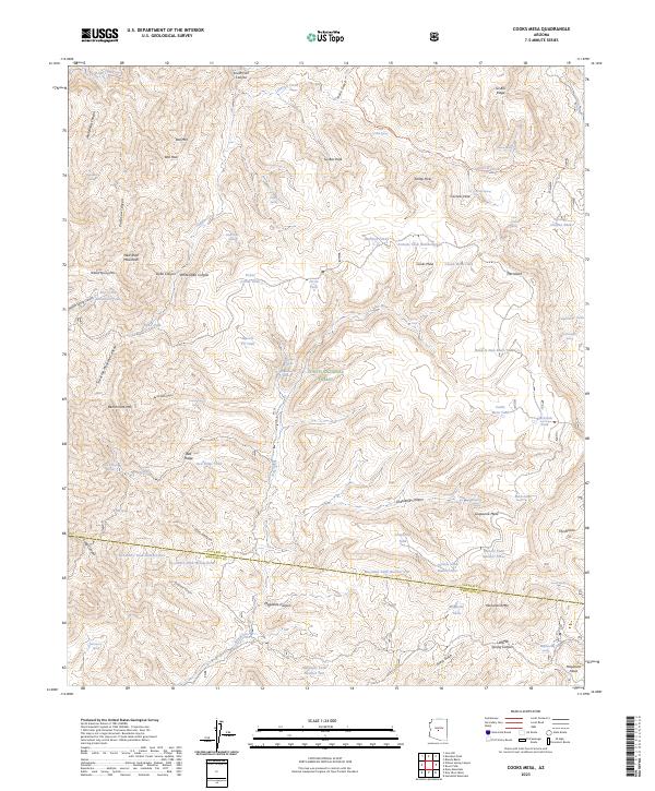
2023 Map of Cooks Mesa
USGS Topo · Published 2023About this map
The Tonto National Forest defines the rugged geography of this Yavapai and Maricopa County border region, where the high relief of the New River Mountains and Cooks Mesa creates a complex system of canyons and gulches. The drainage of Ledni Lil Creek and the New River dictate the placement of vital water sources in this arid landscape, including Cavness Spring, White Dyke Spring, and Cottonwood Spring.
Find a feature on this map
98 named features on this map. Tap any name to fly to it.
Don’t see what you’re looking for? This feature index may not catch every label — zoom into the map to look around manually.
Map Details
Editions of this 2023 Cooks Mesa Map
This is the sole edition of this map. No revisions or reprints were ever made.
Other maps of this area

1887 · Verde
USGS Topo · 1:250,000

1887 · Prescott
USGS Topo · 1:250,000

1892 · Verde
USGS Topo · 1:250,000

1892 · Prescott
USGS Topo · 1:250,000

1903 · Bradshaw Mountains
USGS Topo · 1:125,000

1929 · Turret Peak
USGS Topo · 1:125,000

1930 · Cave Creek
USGS Topo · 1:125,000

1933 · Turret Peak
USGS Topo · 1:125,000

1939 · Cave Creek
USGS Topo · 1:125,000

1947 · Bumblebee
USGS Topo · 1:62,500