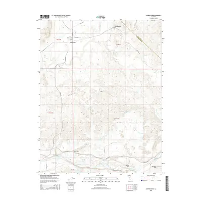
2015 Map of Cooperstown
USGS Topo · Published 2015About this map
Warnerville Cemetery and the small settlement of Warnerville anchor the northwest corner of this landscape, where the foothills meet the San Joaquin Valley. The terrain is defined by a network of seasonal watercourses and modern irrigation features, including the McConnell Livingston Lateral and Sproul Lateral, which reflect the region's managed water history. To the south, the Tuolumne River winds through the topography, flanked by several named drainages such as Salter Gulch and Rairden Gulch. The northern section is marked by the eponymous Cooperstown, situated along Copperstown Rd near the Tuolumne Co and Stanislaus Co border. This area showcases the transition from the rugged drainage patterns of York Dry Cr and Rydberg Cr to the more open reaches of the Central Valley near Turlock Lake.
Find a feature on this map
32 named features on this map. Tap any name to fly to it.
Don’t see what you’re looking for? This feature index may not catch every label — zoom into the map to look around manually.
Map Details
Editions of this 2015 Cooperstown Map
This is the sole edition of this map. No revisions or reprints were ever made.
Other maps of this area

1893 · Sonora
USGS Topo · 1:125,000

1896 · Sonora
USGS Topo · 1:125,000

1897 · Sonora
USGS Topo · 1:125,000

1898 · Sonora
USGS Topo · 1:125,000

1913 · Dickenson
USGS Topo · 1:31,680

1915 · Paulsell
USGS Topo · 1:31,680

1915 · La Grange
USGS Topo · 1:24,000

1916 · Three Tree Flat
USGS Topo · 1:31,680

1916 · Montpellier
USGS Topo · 1:31,680

1916 · Cooperstown
USGS Topo · 1:31,680