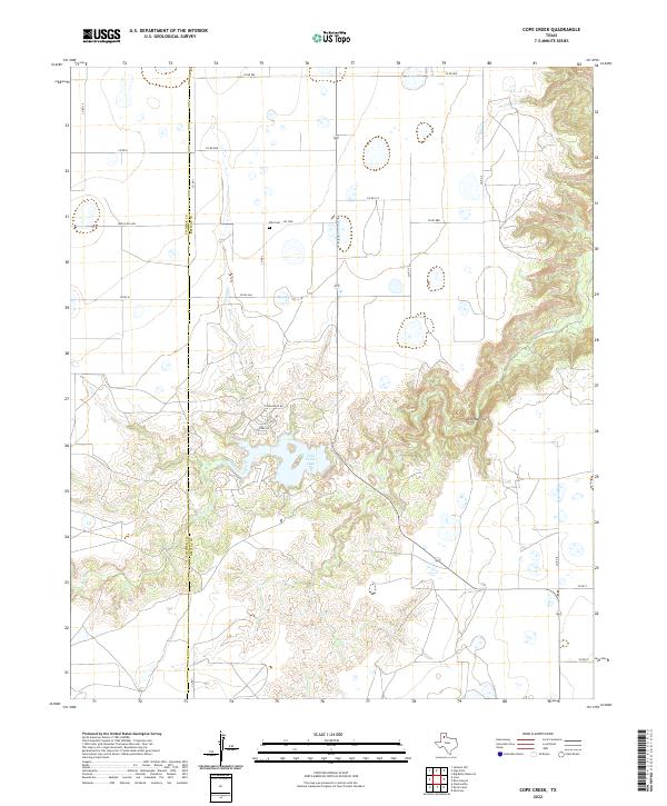
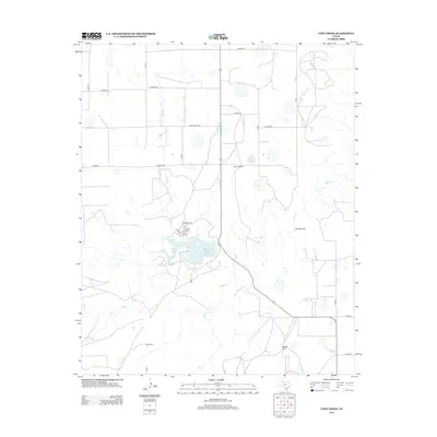
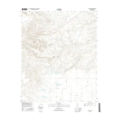
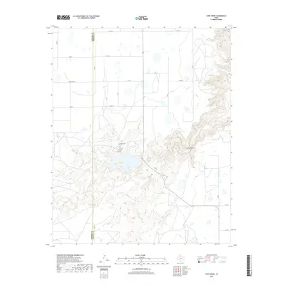
2022 Map of Cope Creek
USGS Topo · Published 2022About this map
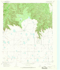
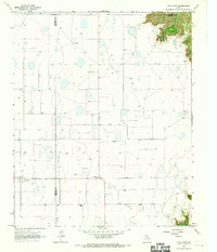
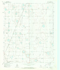
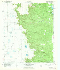
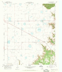
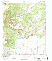
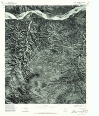
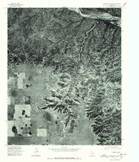
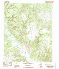
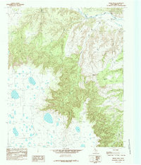
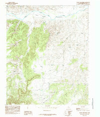
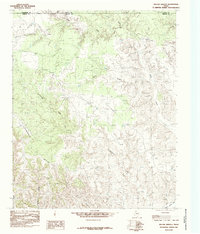
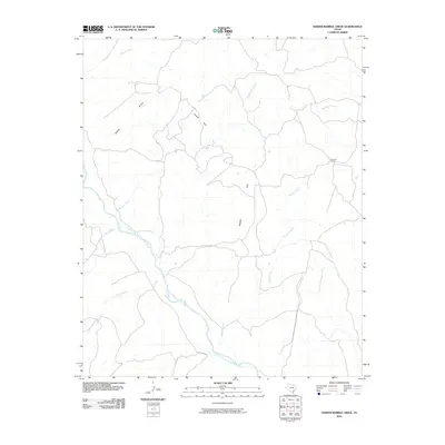
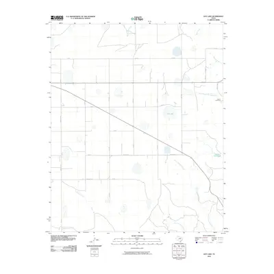
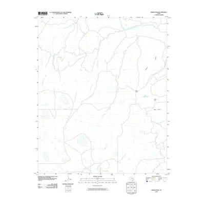
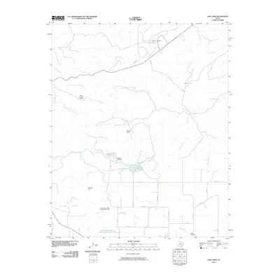
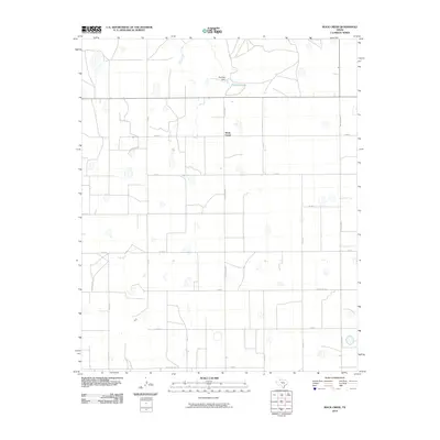
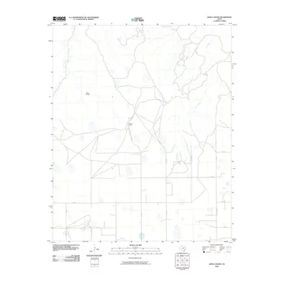
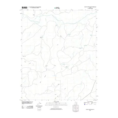
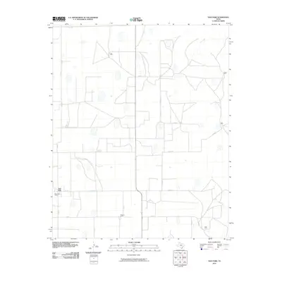
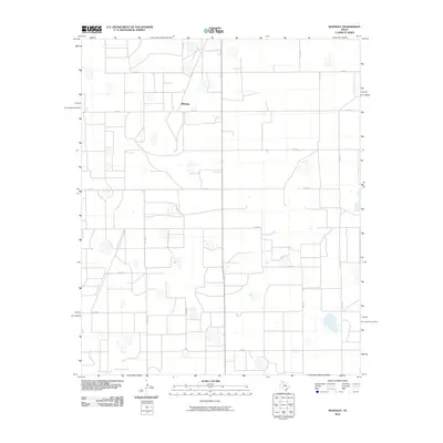
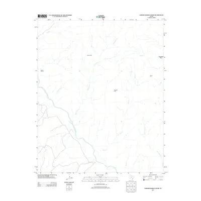
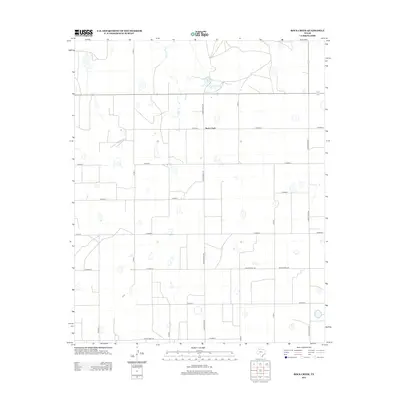
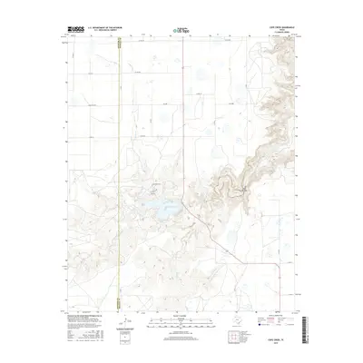
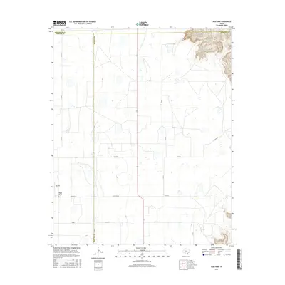
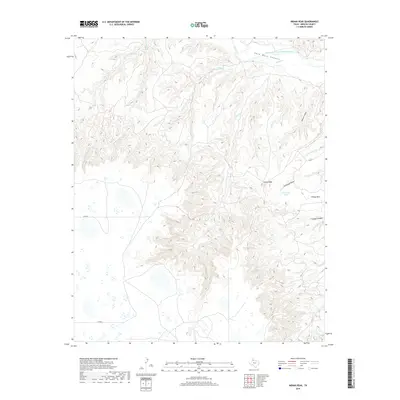
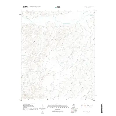
The high plains of the Texas Panhandle meet the dramatic caprock canyonlands here, defined by the sharp transition between flat agricultural land and the deeply eroded breaks of Tule Creek. This landscape is bisected by the Swisher Co Briscoe Co line, where the plateau surface gives way to The Narrows, a prominent terrain feature carved by centuries of water movement toward the southeast. The plateau above is organized by a geometric grid of rural routes such as Ranch Rd 3300 and FM 3300, serving isolated points of interest like the Milo Cem. In the central canyon area, Tule Creek Lake serves as a significant water catchment, with the drainage network further supported by Cope Cr and Rock Cr. This survey captures a region where the vast cattle ranching and farming traditions are dictated by the underlying geology of the Llano Estacado.
Find a feature on this map
27 named features on this map. Tap any name to fly to it.
Don’t see what you’re looking for? This feature index may not catch every label — zoom into the map to look around manually.
Map Details
Editions of this 2022 Cope Creek Map
This is the sole edition of this map. No revisions or reprints were ever made.
Historical Maps of Coronado Shores Through Time
83 maps found

1960 Indian Peak
Briscoe County, TX
1965 Big Betty Reservoir
Briscoe County, TX
1965 Cope Creek
Briscoe County, TX
1965 Rock Creek
Briscoe County, TX
1965 Ross Canyon
Briscoe County, TX
1965 Vigo Park
Briscoe County, TX
1965 Whiteley
Briscoe County, TX
1967 Edgemon Lake
Briscoe County, TX
1967 Hay Lake
Briscoe County, TX
1967 Lake Theo
Briscoe County, TX
1976 Indian Peak NE
Briscoe County, TX
1976 Indian Peak NW
Briscoe County, TX
1976 Indian Peak SE
Briscoe County, TX
1976 Indian Peak SW
Briscoe County, TX
1985 Hardscrabble Creek
Briscoe County, TX
1985 Indian Peak
Briscoe County, TX
1985 Schott Mountain
Briscoe County, TX
1985 Willow Arroyo
Briscoe County, TX

2010 Big Betty Reservoir
Briscoe County, TX
2010 Cope Creek
Briscoe County, TX
2010 Edgemon Lake
Briscoe County, TX
2010 Hardscrabble Creek
Briscoe County, TX
2010 Hay Lake
Briscoe County, TX
2010 Indian Peak
Briscoe County, TX
2010 Lake Theo
Briscoe County, TX
2010 Rock Creek
Briscoe County, TX
2010 Ross Canyon
Briscoe County, TX
2010 Schott Mountain
Briscoe County, TX
2010 Vigo Park
Briscoe County, TX
2010 Whiteley
Briscoe County, TX
2010 Willow Arroyo
Briscoe County, TX
2012 Big Betty Reservoir
Briscoe County, TX
2012 Edgemon Lake
Briscoe County, TX
2012 Hardscrabble Creek
Briscoe County, TX
2012 Hay Lake
Briscoe County, TX
2012 Indian Peak
Briscoe County, TX
2012 Lake Theo
Briscoe County, TX
2012 Rock Creek
Briscoe County, TX
2012 Ross Canyon
Briscoe County, TX
2012 Schott Mountain
Briscoe County, TX
2012 Vigo Park
Briscoe County, TX
2012 Whiteley
Briscoe County, TX
2012 Willow Arroyo
Briscoe County, TX
2013 Cope Creek
Briscoe County, TX
2016 Big Betty Reservoir
Briscoe County, TX
2016 Cope Creek
Briscoe County, TX
2016 Edgemon Lake
Briscoe County, TX
2016 Hardscrabble Creek
Briscoe County, TX

2016 Hay Lake
Briscoe County, TX
2016 Indian Peak
Briscoe County, TX
2016 Lake Theo
Briscoe County, TX
2016 Rock Creek
Briscoe County, TX
2016 Ross Canyon
Briscoe County, TX
2016 Schott Mountain
Briscoe County, TX
2016 Vigo Park
Briscoe County, TX
2016 Whiteley
Briscoe County, TX
2016 Willow Arroyo
Briscoe County, TX
2019 Big Betty Reservoir
Briscoe County, TX
2019 Cope Creek
Briscoe County, TX
2019 Edgemon Lake
Briscoe County, TX
2019 Hardscrabble Creek
Briscoe County, TX
2019 Hay Lake
Briscoe County, TX
2019 Indian Peak
Briscoe County, TX
2019 Lake Theo
Briscoe County, TX
2019 Rock Creek
Briscoe County, TX
2019 Ross Canyon
Briscoe County, TX
2019 Schott Mountain
Briscoe County, TX
2019 Vigo Park
Briscoe County, TX
2019 Whiteley
Briscoe County, TX
2019 Willow Arroyo
Briscoe County, TX
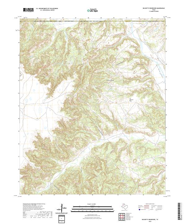
2022 Big Betty Reservoir
Briscoe County, TX
2022 Cope Creek
Briscoe County, TX
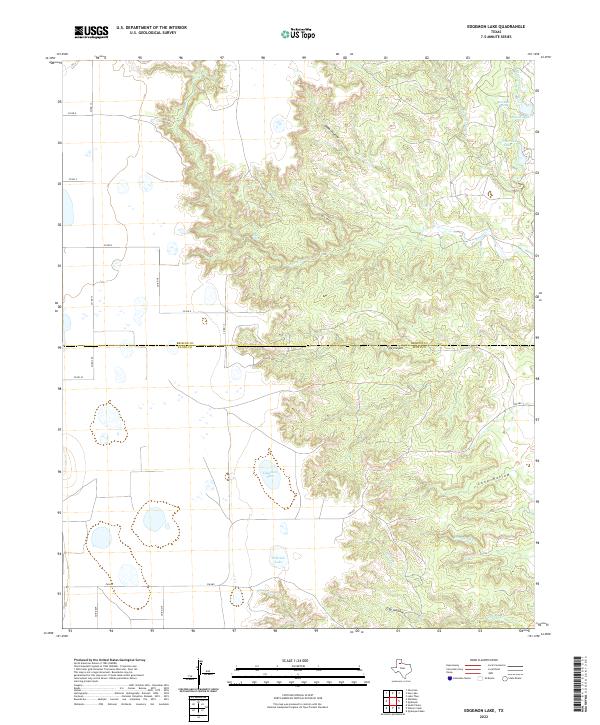
2022 Edgemon Lake
Briscoe County, TX
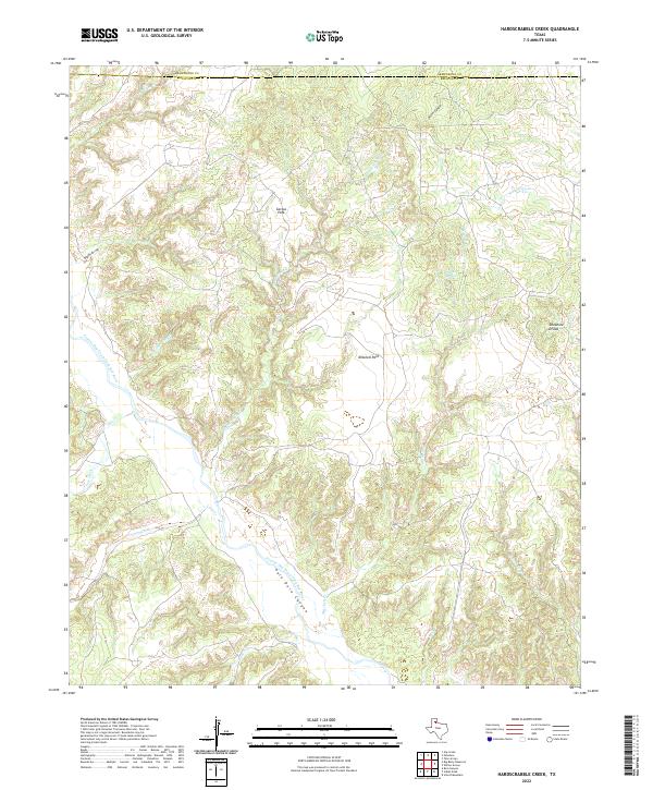
2022 Hardscrabble Creek
Briscoe County, TX
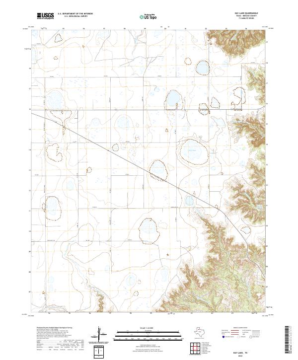
2022 Hay Lake
Briscoe County, TX
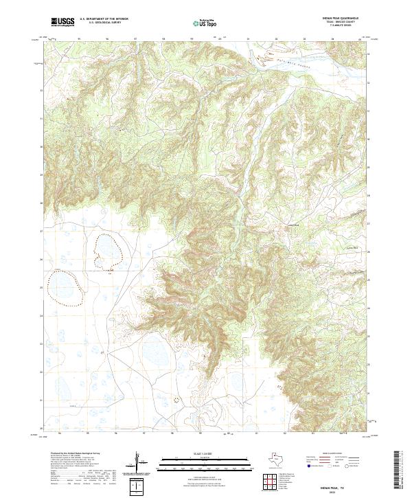
2022 Indian Peak
Briscoe County, TX
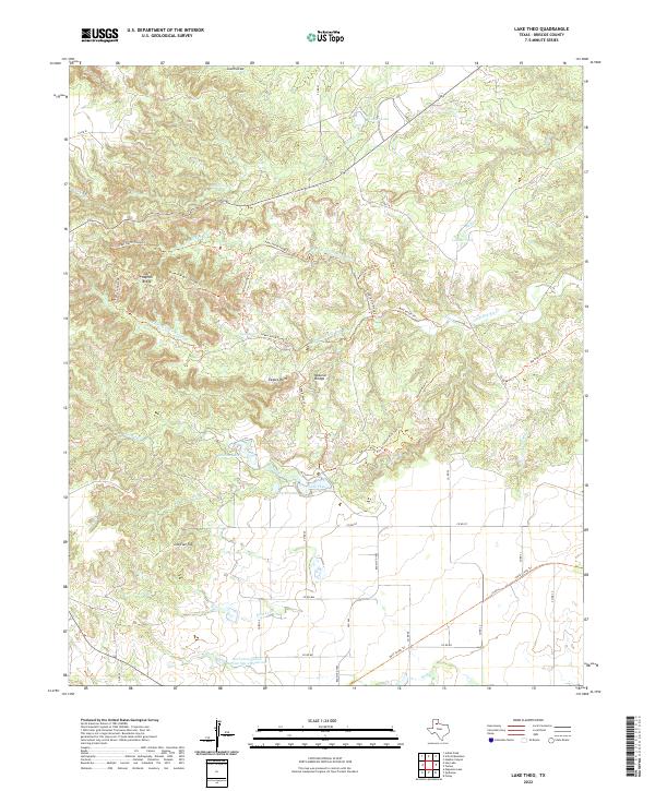
2022 Lake Theo
Briscoe County, TX
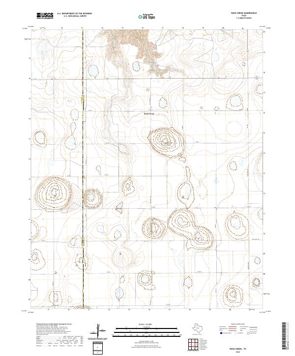
2022 Rock Creek
Briscoe County, TX
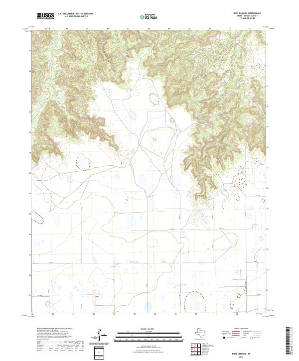
2022 Ross Canyon
Briscoe County, TX
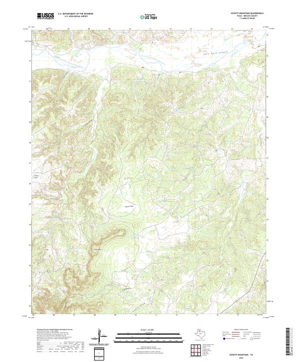
2022 Schott Mountain
Briscoe County, TX
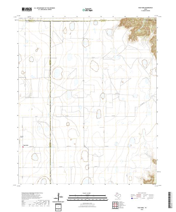
2022 Vigo Park
Briscoe County, TX
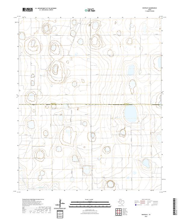
2022 Whiteley
Briscoe County, TX
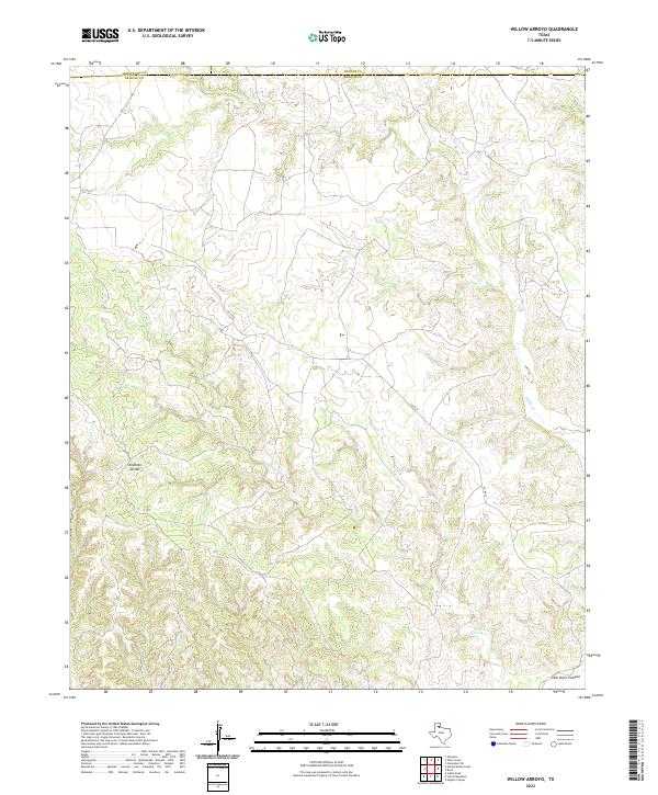
2022 Willow Arroyo
Briscoe County, TX