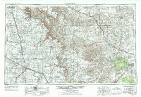
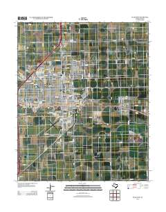
1958 Map of Plainview
USGS Topo · Published 1958About this map
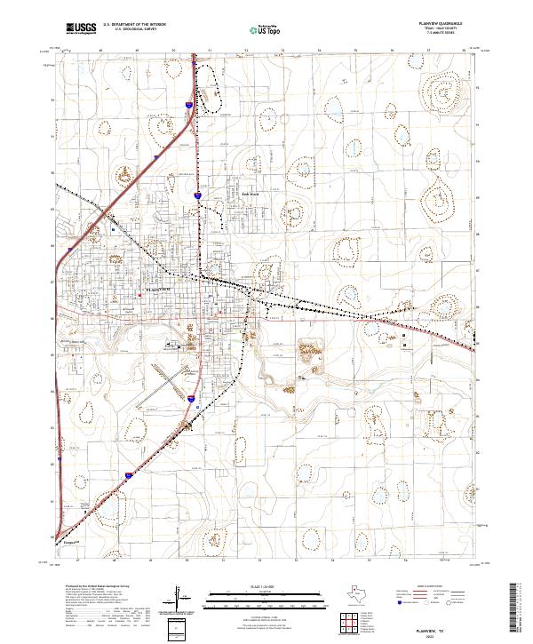
Plainview serves as a major agricultural and transportation hub on this mid-century survey, situated at the junction of the Panhandle and Santa Fe railroad and multiple regional roads. The landscape is defined by the sharp contrast between the level Llano Estacado plains to the west and the dramatic erosion of the Caprock Escarpment, where the Prairie Dog Town Fork of Red River cuts through Palo Duro State Park. This geological divide separates established farming communities like Tulia and Lockney from the breaks and canyons of the eastern half.
Find a feature on this map
93 named features on this map. Tap any name to fly to it.
Don’t see what you’re looking for? This feature index may not catch every label — zoom into the map to look around manually.
Map Details
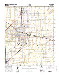
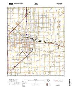
Editions of this 1958 Plainview Map
This is the sole edition of this map. No revisions or reprints were ever made.
Historical Maps of Plainview Through Time
9 maps found