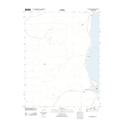
2011 Map of Copper Canyon
USGS Topo · Published 2011About this map
The western shores of Walker Lake define this high-desert landscape as it appeared in 2011. The terrain transitions sharply from the deep waters of the lake to the eastern slopes of the Wassuk Range, with numerous ephemeral drainages like Dry Creek and Cottonwood Creek carving through the arid soil. Human activity is concentrated along the shoreline, where access points such as Sportsmans Beach and the Walker Lake Boat Harbor provided recreational gateways for locals and visitors alike.
Find a feature on this map
17 named features on this map. Tap any name to fly to it.
Don’t see what you’re looking for? This feature index may not catch every label — zoom into the map to look around manually.
Map Details
Editions of this 2011 Copper Canyon Map
This is the sole edition of this map. No revisions or reprints were ever made.
Other maps of this area

1909 · Hawthorne
USGS Topo · 1:250,000

1911 · Hawthorne
USGS Topo · 1:250,000

1915 · Hawthorne
USGS Topo · 1:250,000

1948 · Walker Lake
USGS Topo · 1:250,000

1955 · Hawthorne
USGS Topo · 1:62,500

1956 · Mt. Grant
USGS Topo · 1:62,500

1957 · Walker Lake
USGS Topo · 1:250,000

1962 · Walker Lake
USGS Topo · 1:250,000

1964 · Walker Lake
USGS Topo · 1:250,000

1964 · Gillis Canyon
USGS Topo · 1:62,500