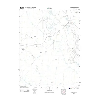
2012 Map of Copperopolis
USGS Topo · Published 2012About this map
Telegraph City and the developing residential clusters of the Foothills define this landscape as it appeared in the early 21st century. The map centers on the transition from traditional ranching and mining terrain to modern suburban subdivisions, notably Copper Cove Village and the Copper Cove Subdivision. Genealogical and local history interest is anchored by the Copperopolis Cem and the Po located along Main St, while the surrounding geography is dominated by a series of named peaks and ridges, including Copperopolis Mountain, Iron Mountain, and Gopher Ridge.
Find a feature on this map
86 named features on this map. Tap any name to fly to it.
Don’t see what you’re looking for? This feature index may not catch every label — zoom into the map to look around manually.
Map Details
Editions of this 2012 Copperopolis Map
This is the sole edition of this map. No revisions or reprints were ever made.
Other maps of this area

1889 · Jackson
USGS Topo · 1:125,000

1892 · Jackson
USGS Topo · 1:125,000

1897 · Jackson
USGS Topo · 1:125,000

1902 · Jackson
USGS Topo · 1:125,000

1915 · Oakdale
USGS Topo · 1:31,680

1916 · Bachelor Valley
USGS Topo · 1:31,680

1916 · Copperopolis
USGS Topo · 1:62,500

1942 · Farmington
USGS Topo · 1:62,500

1942 · Copperopolis
USGS Topo · 1:62,500

1944 · Valley Springs
USGS Topo · 1:62,500
Featured Places
- Telegraph City, CA
- Copper Cove Subdivision, CA
- Copper Cove Village, CA
- Copperopolis, CA
- Stanislaus County, CA