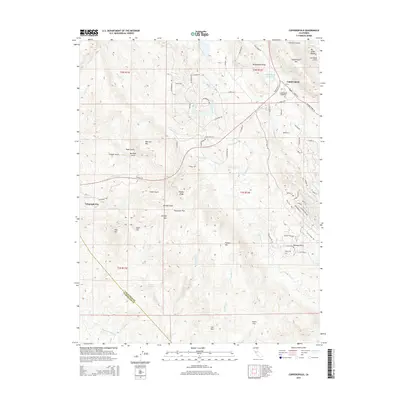
2015 Map of Copperopolis
USGS Topo · Published 2015About this map
Copperopolis serves as the primary hub in this Sierra Nevada foothills region, surrounded by a complex landscape of ridges and gulches that speak to its mineral-rich history. The town is situated near the Copperopolis Reservoir and is marked by the Copperopolis Cemetery on its western edge. Further west, the settlement of Telegraph City sits along the road to Gopher Ridge, where the terrain transitions into a series of deep drainages including Texas Gulch and Buckham Gulch.
Find a feature on this map
87 named features on this map. Tap any name to fly to it.
Don’t see what you’re looking for? This feature index may not catch every label — zoom into the map to look around manually.
Map Details
Editions of this 2015 Copperopolis Map
This is the sole edition of this map. No revisions or reprints were ever made.
Other maps of this area

1889 · Jackson
USGS Topo · 1:125,000

1892 · Jackson
USGS Topo · 1:125,000

1897 · Jackson
USGS Topo · 1:125,000

1902 · Jackson
USGS Topo · 1:125,000

1915 · Oakdale
USGS Topo · 1:31,680

1916 · Bachelor Valley
USGS Topo · 1:31,680

1916 · Copperopolis
USGS Topo · 1:62,500

1942 · Farmington
USGS Topo · 1:62,500

1942 · Copperopolis
USGS Topo · 1:62,500

1944 · Valley Springs
USGS Topo · 1:62,500
Featured Places
- Telegraph City, CA
- Copper Cove Subdivision, CA
- Copper Cove Village, CA
- Copperopolis, CA
- Stanislaus County, CA