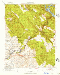
1962 Map of Copperopolis
USGS Topo · Published 1971About this map
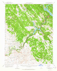
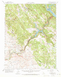
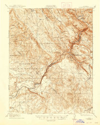
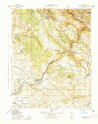
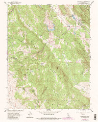
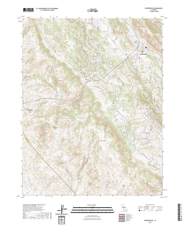
Copperopolis serves as the focal point for this survey of the Sierra Nevada foothills, a landscape defined by its rich mining heritage and sophisticated water management systems. The map documents numerous mining operations that shaped the local economy, including the Napoleon Mine, Skyrocket Mine, and the Shirley Queen Mine. Water infrastructure is equally prominent, featuring the massive Hetch Hetchy Aqueduct cutting across the southern terrain and the Stanislaus River feeding into Melones Reservoir and Tulloch Lake.
Find a feature on this map
94 named features on this map. Tap any name to fly to it.
Don’t see what you’re looking for? This feature index may not catch every label — zoom into the map to look around manually.
Map Details
Editions of this 1962 Copperopolis Map
2 editions found
Historical Maps of Telegraph City Through Time
10 maps found
1916 Copperopolis
Calaveras County, CA
1942 Copperopolis
Calaveras County, CA
1954 Copperopolis
Calaveras County, CA
1962 Copperopolis
Calaveras County, CA
1962 Copperopolis
Calaveras County, CA

2012 Copperopolis
Calaveras County, CA
2015 Copperopolis
Calaveras County, CA
2018 Copperopolis
Calaveras County, CA
2021 Copperopolis
Calaveras County, CA
2023 Copperopolis
Calaveras County, CA
Featured Locations
- Copper Cove Subdivision, CA
- Copper Cove Village, CA
- Copperopolis, CA
- Telegraph City, CA
- The Shores of Poker Flat, CA