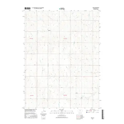
2015 Map of Cora
USGS Topo · Published 2015About this map
The tiny settlement of Womer sits at a crossroads in northern Smith County, surrounded by a complex network of drainage creeks that define the local topography. This agricultural landscape is etched by Walnut Cr and Pawnee Cr, which flow through the sectioned fields and pastures. To the south, the community of Cora and the Cedar Hill Cem provide a focal point for genealogical research, marking the location of long-established family roots in the Kansas plains.
Find a feature on this map
31 named features on this map. Tap any name to fly to it.
Don’t see what you’re looking for? This feature index may not catch every label — zoom into the map to look around manually.
Map Details
Editions of this 2015 Cora Map
This is the sole edition of this map. No revisions or reprints were ever made.
Other maps of this area

1893 · Smith Center
USGS Topo · 1:125,000

1897 · Red Cloud
USGS Topo · 1:125,000

1940 · Red Cloud
USGS Topo · 1:62,500

1942 · Red Cloud
USGS Topo · 1:62,500

1955 · Grand Island
USGS Topo · 1:250,000

1955 · Beloit
USGS Topo · 1:250,000

1957 · Grand Island
USGS Topo · 1:250,000

1958 · Grand Island
USGS Topo · 1:250,000

1959 · Beloit
USGS Topo · 1:250,000
1973 · Cora
USGS Topo · 1:24,000