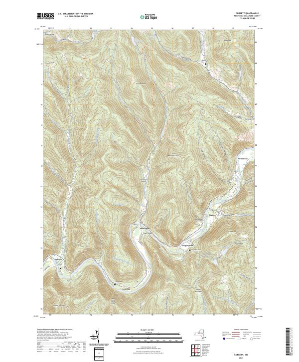
2023 Map of Corbett
USGS Topo · Published 2023About this map
The East Branch Delaware River carves a deep valley through the high peaks of the Catskill Mountains, anchoring a string of historic river settlements including Shinhopple, Gregorytown, Corbett, and Long Flat. This landscape is defined by its steep tributary hollows and the subterranean engineering of the West Delaware Aqueduct, which traverses the terrain beneath ridges like Baxter Mountain. Local history and genealogy are anchored by several family and community burial grounds, such as Gregorytown Cem and Harvard Cem, located near the old road networks.
Find a feature on this map
82 named features on this map. Tap any name to fly to it.
Don’t see what you’re looking for? This feature index may not catch every label — zoom into the map to look around manually.
Map Details
Editions of this 2023 Corbett Map
This is the sole edition of this map. No revisions or reprints were ever made.
Other maps of this area
1920 · Long Eddy
USGS Topo · 1:62,500
1921 · Long Eddy
USGS Topo · 1:48,000
1921 · Livingston Manor
USGS Topo · 1:62,500
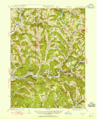
1922 · Andes
USGS Topo · 1:62,500
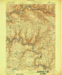
1923 · Long Eddy
USGS Topo · 1:62,500
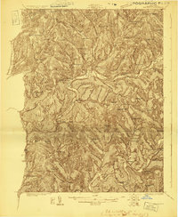
1923 · Walton
USGS Topo · 1:48,000
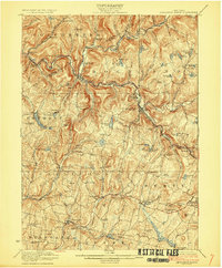
1923 · Livingston Manor
USGS Topo · 1:62,500
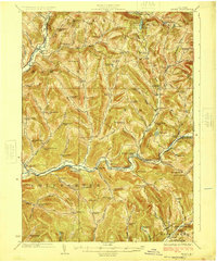
1924 · Andes
USGS Topo · 1:62,500
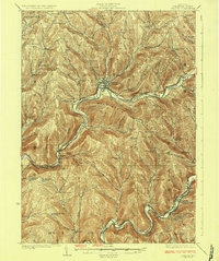
1925 · Walton
USGS Topo · 1:62,500

1943 · Honesdale
USGS Topo · 1:125,000