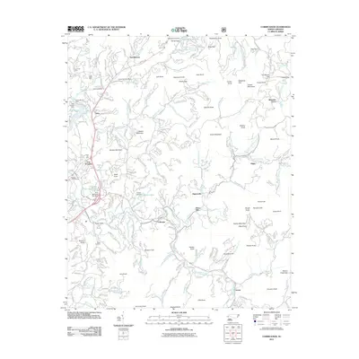
2011 Map of Corbin Knob
USGS Topo · Published 2011About this map
The Nikwasi Indian Mound stands as a significant landmark in this section of Macon County, anchoring the historical landscape near East Franklin. The area is characterized by a dense concentration of early 21st-century residential developments and agricultural holdings, particularly along the Cullasaja River. Industrial and extractive history is evident through numerous local sites like the Lyle Knob Mine, Rocky Face Mine, and the Gem City Mine, which speak to the region's mineral wealth.
Find a feature on this map
243 named features on this map. Tap any name to fly to it.
Don’t see what you’re looking for? This feature index may not catch every label — zoom into the map to look around manually.
Map Details
Editions of this 2011 Corbin Knob Map
This is the sole edition of this map. No revisions or reprints were ever made.
Other maps of this area

1891 · Cowee
USGS Topo · 1:125,000

1897 · Cowee
USGS Topo · 1:125,000

1907 · Cowee
USGS Topo · 1:125,000

1933 · Bryson
USGS Topo · 1:62,500

1935 · Franklin
USGS Topo · 1:24,000

1935 · Prentiss
USGS Topo · 1:24,000

1935 · Cullowhee
USGS Topo · 1:24,000

1935 · Scaly
USGS Topo · 1:24,000

1935 · Glenville
USGS Topo · 1:24,000

1935 · Corbin Knob
USGS Topo · 1:24,000