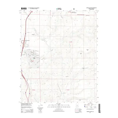
2014 Map of Cordes Junction
USGS Topo · Published 2014About this map
Arcosanti, the experimental architectural project and prototype town, stands near the banks of the Agua Fria River in this modern survey. The map details the residential expansion of Cordes Lakes, where a dense network of suburban streets like E Conestoga Dr and E Aztec Trl meets the high desert terrain. North of the major interchange at Cordes Junction, the landscape transitions into the protected lands of the Prescott National Forest. Significant watercourses, including Big Bug Cr and Ash Cr, carve through the mesas and gulches, illustrating the complex drainage systems of the Central Arizona Highlands. The survey further documents the higher elevations of Sycamore Mesa and Perry Mesa, providing a clear picture of the geographic boundaries between settled communities and preserved natural wilderness.
Find a feature on this map
66 named features on this map. Tap any name to fly to it.
Don’t see what you’re looking for? This feature index may not catch every label — zoom into the map to look around manually.
Map Details
Editions of this 2014 Cordes Junction Map
This is the sole edition of this map. No revisions or reprints were ever made.
Other maps of this area

1887 · Verde
USGS Topo · 1:250,000

1887 · Prescott
USGS Topo · 1:250,000

1892 · Verde
USGS Topo · 1:250,000

1892 · Prescott
USGS Topo · 1:250,000

1903 · Bradshaw Mountains
USGS Topo · 1:125,000

1929 · Turret Peak
USGS Topo · 1:125,000

1933 · Turret Peak
USGS Topo · 1:125,000

1947 · Bumblebee
USGS Topo · 1:62,500

1947 · Mayer
USGS Topo · 1:62,500

1948 · Bumblebee
USGS Topo · 1:63,360