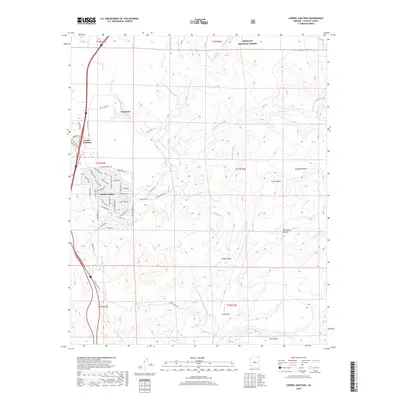
2018 Map of Cordes Junction
USGS Topo · Published 2018About this map
Arcosanti, the experimental architectural project, stands as a notable landmark overlooking the high desert landscape of central Arizona. This 2018 survey documents the expanding residential grid of Cordes Lakes and the vital travel nexus at Cordes Junction. The hydrology is defined by the Agua Fria River and its various tributaries, including Ash Cr, Sycamore Cr, and Silver Cr, which carve through the prominent plateaus of Sycamore Mesa and Perry Mesa. Portions of the Prescott National Forest are visible along the northern boundary, while rugged drainage patterns like Black Hill Wash and Badger Spring Wash illustrate the complex erosion across Cactus Basin. Local ranching history is preserved through labels like 3 M Ranch Rd and Kelton Ranch Rd, reflecting the area's transition from open range to modern rural development.
Find a feature on this map
56 named features on this map. Tap any name to fly to it.
Don’t see what you’re looking for? This feature index may not catch every label — zoom into the map to look around manually.
Map Details
Editions of this 2018 Cordes Junction Map
This is the sole edition of this map. No revisions or reprints were ever made.
Other maps of this area
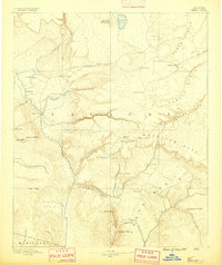
1887 · Verde
USGS Topo · 1:250,000
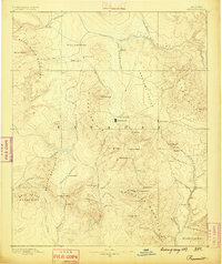
1887 · Prescott
USGS Topo · 1:250,000
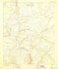
1892 · Verde
USGS Topo · 1:250,000
1892 · Prescott
USGS Topo · 1:250,000
1903 · Bradshaw Mountains
USGS Topo · 1:125,000
1929 · Turret Peak
USGS Topo · 1:125,000
1933 · Turret Peak
USGS Topo · 1:125,000
1947 · Bumblebee
USGS Topo · 1:62,500
1947 · Mayer
USGS Topo · 1:62,500
1948 · Bumblebee
USGS Topo · 1:63,360