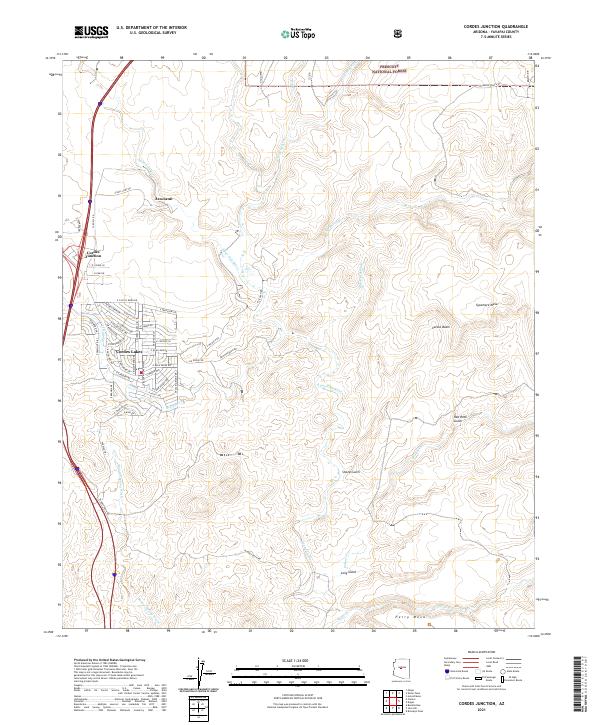
2021 Map of Cordes Junction
USGS Topo · Published 2021About this map
Arcosanti, the experimental urban laboratory, stands as a prominent landmark overlooking the Aqua Fria River in this high-desert landscape. The settlement patterns shown here reflect a distinct evolution from the concentrated transportation hub at Cordes Junction to the suburban street network of Cordes Lakes. These communities are situated amidst a complex drainage system where Big Bug Cr and Badger Spring Wash carve through the terrain toward the southern mesas.
Find a feature on this map
50 named features on this map. Tap any name to fly to it.
Don’t see what you’re looking for? This feature index may not catch every label — zoom into the map to look around manually.
Map Details
Editions of this 2021 Cordes Junction Map
This is the sole edition of this map. No revisions or reprints were ever made.
Other maps of this area

1887 · Verde
USGS Topo · 1:250,000

1887 · Prescott
USGS Topo · 1:250,000

1892 · Verde
USGS Topo · 1:250,000

1892 · Prescott
USGS Topo · 1:250,000

1903 · Bradshaw Mountains
USGS Topo · 1:125,000

1929 · Turret Peak
USGS Topo · 1:125,000

1933 · Turret Peak
USGS Topo · 1:125,000

1947 · Bumblebee
USGS Topo · 1:62,500

1947 · Mayer
USGS Topo · 1:62,500

1948 · Bumblebee
USGS Topo · 1:63,360