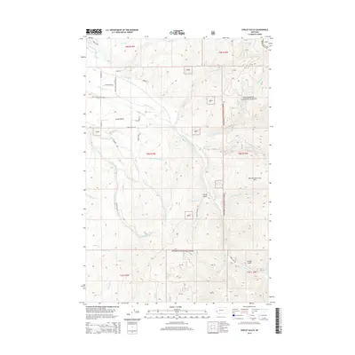
2014 Map of Corley Gulch
USGS Topo · Published 2014About this map
Bitterroot National Forest dominates the eastern and southern portions of this Montana landscape, where the rugged topography is defined by the prominent Whe-lha-kleh-tseen Mtn. The watershed is heavily dissected by the Burnt Fork Bitterroot River and its numerous tributaries, including Mill Cr and Sawmill Cr, suggesting a long-standing history of water-driven industry or agriculture in the drainage.
Find a feature on this map
90 named features on this map. Tap any name to fly to it.
Don’t see what you’re looking for? This feature index may not catch every label — zoom into the map to look around manually.
Map Details
Editions of this 2014 Corley Gulch Map
This is the sole edition of this map. No revisions or reprints were ever made.
Other maps of this area

1901 · Hamilton
USGS Topo · 1:125,000

1903 · Bonner
USGS Topo · 1:125,000

1909 · Sapphire
USGS Topo · 1:125,000

1912 · Missoula
USGS Topo · 1:125,000

1947 · Butte
USGS Topo · 1:250,000

1956 · Hamilton
USGS Topo · 1:250,000

1958 · Butte
USGS Topo · 1:250,000

1959 · Hamilton
USGS Topo · 1:250,000

1959 · Cleveland Mountain
USGS Topo · 1:62,500

1960 · Butte
USGS Topo · 1:250,000