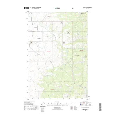
2020 Map of Corley Gulch
USGS Topo · Published 2020About this map
Sunset Bench dominates the northwestern corner of this mountain landscape, where a network of local roads such as Upper Burnt Fork School Rd and Sunset Ranch Ln suggests a legacy of high-altitude ranching and rural residence. The terrain is deeply carved by drainage systems including Willoughby Cr and the Burnt Fork Bitterroot River, which flow westward from the high peaks of the Bitterroot National Forest. To the east, the elevation rises sharply toward Many Horse Peak and Whe-lha-kleh-tseen Mtn, marking the transition into more primitive forest lands. The presence of Lolo National Forest in the northeast corner and the namesake Corley Gulch illustrate a rugged geography defined by its watercourses and protected timberlands, where modern naming conventions intersect with indigenous identifiers like Whe-lha-kleh-tseen Mtn.
Find a feature on this map
62 named features on this map. Tap any name to fly to it.
Don’t see what you’re looking for? This feature index may not catch every label — zoom into the map to look around manually.
Map Details
Editions of this 2020 Corley Gulch Map
This is the sole edition of this map. No revisions or reprints were ever made.
Other maps of this area

1901 · Hamilton
USGS Topo · 1:125,000

1903 · Bonner
USGS Topo · 1:125,000

1909 · Sapphire
USGS Topo · 1:125,000

1912 · Missoula
USGS Topo · 1:125,000

1947 · Butte
USGS Topo · 1:250,000

1956 · Hamilton
USGS Topo · 1:250,000

1958 · Butte
USGS Topo · 1:250,000

1959 · Hamilton
USGS Topo · 1:250,000

1959 · Cleveland Mountain
USGS Topo · 1:62,500

1960 · Butte
USGS Topo · 1:250,000