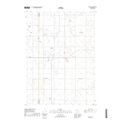
2017 Map of Corn Creek
USGS Topo · Published 2017About this map
Corn Creek serves as a central hub for this portion of the Rosebud Indian Reservation, straddling the border between Jackson Co and Mellette Co. The landscape is defined by the drainages of Black Pipe Cr and Johnson Draw, where the prairie rises into prominent formations like Eagle Butte and Midget Butte. Genealogists will find significant local history preserved at Stands for Them Cem and the Saint Paul Episcopal Cem, which reflect the community's ancestral and religious foundations. The distribution of these burial sites and small settlements alongside features like Corn Creek Lake and Coyote Lookout illustrates a traditional pattern of settlement tied to the available water sources and high vantage points of the South Dakota plains.
Find a feature on this map
28 named features on this map. Tap any name to fly to it.
Don’t see what you’re looking for? This feature index may not catch every label — zoom into the map to look around manually.
Map Details
Editions of this 2017 Corn Creek Map
This is the sole edition of this map. No revisions or reprints were ever made.
Other maps of this area

1951 · Cedar Butte NW
USGS Topo · 1:24,000

1951 · Cedar Butte NE
USGS Topo · 1:24,000

1951 · Pass Creek NE
USGS Topo · 1:24,000

1955 · Martin
USGS Topo · 1:250,000

1958 · Martin
USGS Topo · 1:250,000

1969 · Norris
USGS Topo · 1:24,000

1969 · Parmelee NE
USGS Topo · 1:24,000

1980 · Kadoka
USGS Topo · 1:100,000

1981 · Cedar Butte
USGS Topo · 1:25,000

1981 · Long Valley
USGS Topo · 1:25,000
Featured Places
- Corn Creek Segment, SD
- Corn Creek, Corn Creek Segment
- Wanblee, SD
- Black Pipe Segment, SD
- Jackson County, SD