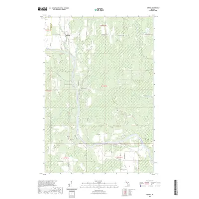
2023 Map of Cornell
USGS Topo · Published 2023About this map
The Escanaba River anchors this central Delta County landscape, flowing south through a patchwork of wetlands and forest. Small rural settlements like Cornell and Salva are situated along its course, connected by a network of local roads including Co 426 E RD and Boom Town Rd. To the north, the community of Saint Nicholas sits near the border with Marquette County, marked by the Saint Nicholas Cem.
Find a feature on this map
49 named features on this map. Tap any name to fly to it.
Don’t see what you’re looking for? This feature index may not catch every label — zoom into the map to look around manually.
Map Details
Editions of this 2023 Cornell Map
This is the sole edition of this map. No revisions or reprints were ever made.
Other maps of this area
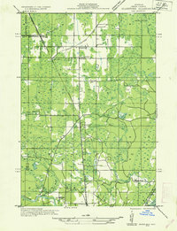
1932 · Gladstone NE
USGS Topo · 1:31,680
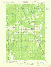
1932 · Rock SW
USGS Topo · 1:31,680
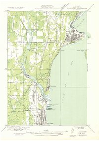
1932 · Gladstone SE
USGS Topo · 1:31,680
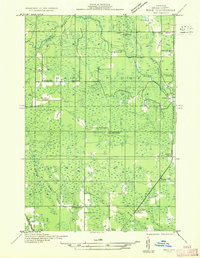
1932 · Rock SE
USGS Topo · 1:31,680
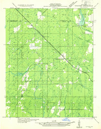
1932 · Whitney NE
USGS Topo · 1:31,680
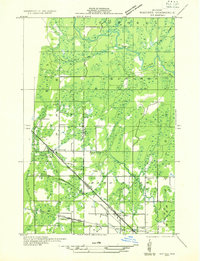
1932 · Whitney SE
USGS Topo · 1:31,680
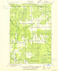
1932 · Gladstone SW
USGS Topo · 1:31,680
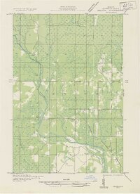
1932 · Helena
USGS Topo · 1:31,680
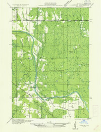
1932 · Gladstone NW
USGS Topo · 1:31,680
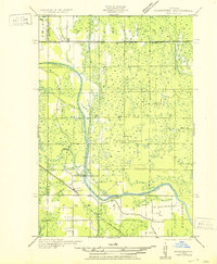
1950 · Gladstone NW
USGS Topo · 1:31,680