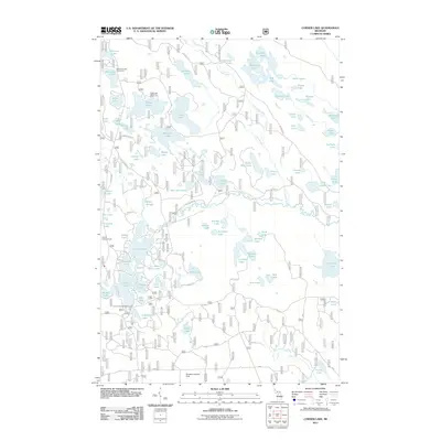
2011 Map of Corner Lake
USGS Topo · Published 2011About this map
The Little Indian River winds through a dense network of glacial lakes and wetlands in this portion of the Hiawatha National Forest. This 2011 survey reveals an environment shaped by water, where dozens of named bodies like Big Island Lake, Cucumber Lake, and McKeever Lake are connected by minor drainages such as Deer Creek and Grassy Creek. Recreational development is evident at the Petes Lake Recreation Area and Corner Lake Recreation Area, highlighting the area's transition into a destination for outdoorsmen and forest management.
Find a feature on this map
85 named features on this map. Tap any name to fly to it.
Don’t see what you’re looking for? This feature index may not catch every label — zoom into the map to look around manually.
Map Details
Editions of this 2011 Corner Lake Map
This is the sole edition of this map. No revisions or reprints were ever made.
Other maps of this area

1931 · Steuben SW
USGS Topo · 1:31,680

1931 · Shingleton SW
USGS Topo · 1:31,680

1931 · Steuben NW
USGS Topo · 1:31,680

1931 · Skeels Lake NE
USGS Topo · 1:31,680

1931 · Munising SE
USGS Topo · 1:31,680

1932 · Skeels Lake SE
USGS Topo · 1:31,680

1932 · Skeels Lake NW and SW
USGS Topo · 1:31,680

1958 · Corner Lake
USGS Topo · 1:62,500

1958 · Munising
USGS Topo · 1:62,500

1958 · Shingleton
USGS Topo · 1:62,500