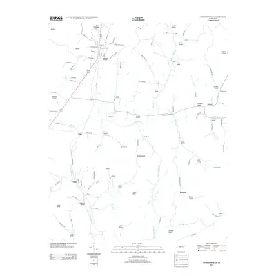
2013 Map of Cornersville
USGS Topo · Published 2013About this map
Cornersville serves as the primary hub of this landscape, situated near the northern edge where New Town and Hatchett Hollow define the local topography. The area is characterized by a dense network of named hollows and ridges, such as Goshen Ridge and Diana Ridge, which shape the paths of the many waterways including Richland Cr and the forks of Bradshaw Cr. Small settlements and named locales like Ostella, Graball, and Gnat Grove are scattered throughout, connected by a web of rural routes such as Ostella Rd and Trigg City Rd. The map also captures several distinct family or locally named landmarks, including Star Lane Farm and the prominent Horse Knob, providing a detailed look at the rural Tennessee countryside before modern development altered these traditional communities.
Find a feature on this map
119 named features on this map. Tap any name to fly to it.
Don’t see what you’re looking for? This feature index may not catch every label — zoom into the map to look around manually.
Map Details
Editions of this 2013 Cornersville Map
This is the sole edition of this map. No revisions or reprints were ever made.
Other maps of this area

1936 · Belfast
USGS Topo · 1:24,000

1936 · Cornersville
USGS Topo · 1:24,000

1936 · Lewisburg
USGS Topo · 1:24,000

1936 · Boonshill
USGS Topo · 1:24,000

1936 · Brick Church
USGS Topo · 1:24,000

1936 · Campbells Station
USGS Topo · 1:24,000

1936 · Petersburg
USGS Topo · 1:24,000

1936 · Tarpley
USGS Topo · 1:24,000

1936 · Frankewing
USGS Topo · 1:24,000

1944 · Shelbyville
USGS Topo · 1:100,000