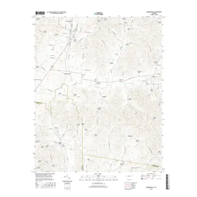
2016 Map of Cornersville
USGS Topo · Published 2016About this map
Cornersville and its surrounding communities are situated at the intersection of Marshall, Giles, and Lincoln counties. The landscape is defined by a dense network of hollows and ridges, with Richland Creek and its many tributaries, such as Tory Fork and W Fork Bradshaw Cr, shaping the local topography. This 2016 survey highlights the agrarian character of the region, where small settlements like Graball, Diana, and Gnat Grove are connected by a web of rural roads. Numerous family-named landmarks and cemeteries, including Horton Cem and Mount Pleasant Cem, underscore the deep-rooted local history. The presence of Beech Cliff Church and Stephens Church reflects the importance of community centers in these remote valleys. Water features like Lewis Lake and McKinnon Lake provide critical resources in a terrain dominated by formations such as Horse Knob and Elk Ridge, illustrating how the physical geography has guided settlement patterns for generations.
Find a feature on this map
129 named features on this map. Tap any name to fly to it.
Don’t see what you’re looking for? This feature index may not catch every label — zoom into the map to look around manually.
Map Details
Editions of this 2016 Cornersville Map
This is the sole edition of this map. No revisions or reprints were ever made.
Other maps of this area

1936 · Belfast
USGS Topo · 1:24,000

1936 · Cornersville
USGS Topo · 1:24,000

1936 · Lewisburg
USGS Topo · 1:24,000

1936 · Boonshill
USGS Topo · 1:24,000

1936 · Brick Church
USGS Topo · 1:24,000

1936 · Campbells Station
USGS Topo · 1:24,000

1936 · Petersburg
USGS Topo · 1:24,000

1936 · Tarpley
USGS Topo · 1:24,000

1936 · Frankewing
USGS Topo · 1:24,000

1944 · Shelbyville
USGS Topo · 1:100,000