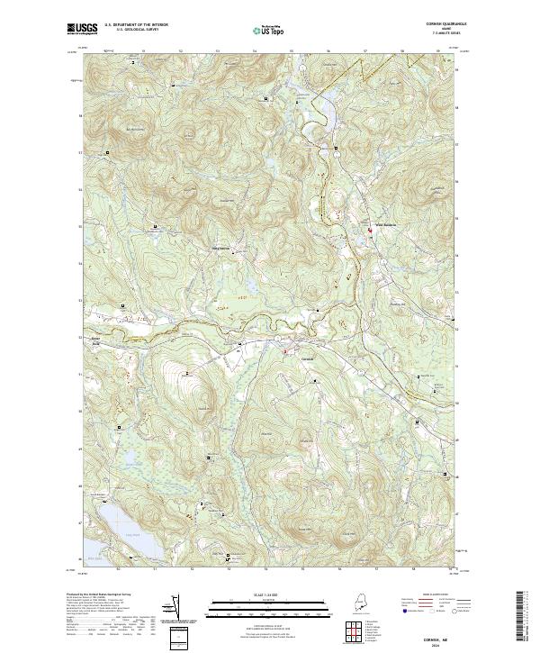
2024 Map of Cornish
USGS Topo · Published 2024About this map
The confluence of the Saco River and Ossipee River anchors this landscape in York County, where the village of Cornish serves as a local hub. The surrounding terrain is defined by prominent peaks like Mt Cutler and Bill Merrill Mtn, while smaller settlements such as Durgintown and West Baldwin dot the riverbanks and upland slopes. This modern survey reveals a deeply established rural character, where land ownership and lineage are still clearly etched into the geography through an exceptional concentration of family-named burial grounds.
Find a feature on this map
127 named features on this map. Tap any name to fly to it.
Don’t see what you’re looking for? This feature index may not catch every label — zoom into the map to look around manually.
Map Details
Editions of this 2024 Cornish Map
This is the sole edition of this map. No revisions or reprints were ever made.
Other maps of this area

1891 · Buxton
USGS Topo · 1:62,500

1891 · Newfield
USGS Topo · 1:62,500

1892 · Buxton
USGS Topo · 1:62,500

1893 · Buxton
USGS Topo · 1:62,500

1893 · Newfield
USGS Topo · 1:62,500

1896 · Sebago
USGS Topo · 1:62,500

1910 · Kezar Falls
USGS Topo · 1:48,000

1911 · Kezar Falls
USGS Topo · 1:62,500

1933 · Newfield
USGS Topo · 1:48,000

1937 · Newfield
USGS Topo · 1:62,500