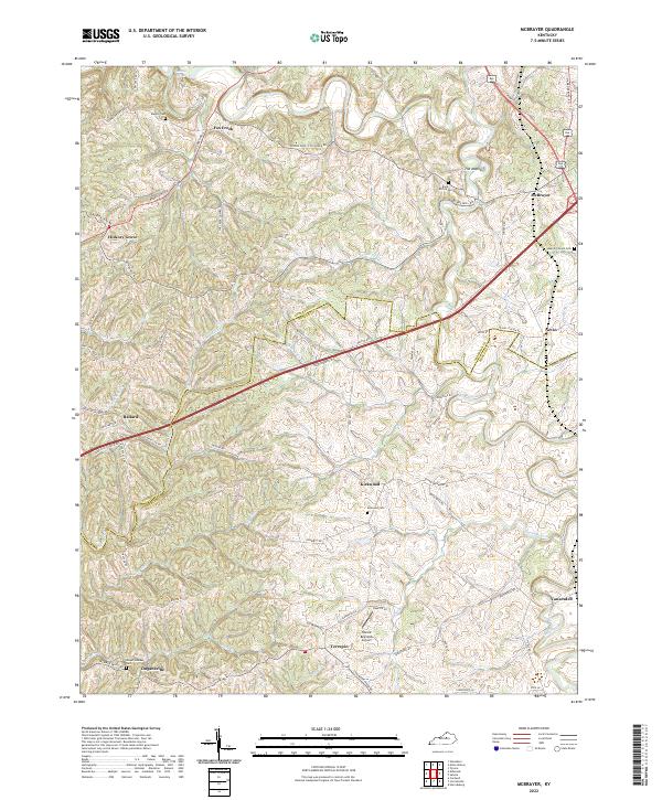
2022 Map of Cornishville
USGS Topo · Published 2022About this map
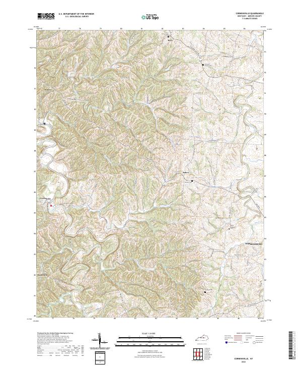
The Chaplin River and Salt River define the intricate drainage patterns of this Mercer County landscape, where small rural communities are connected by a dense network of pikes and lanes. In the northwest, Duncan sits near the headwaters of Thompson Creek, while Cornishville occupies a central position along the river's path. The area is marked by numerous family and community burial grounds, such as Royalty Cem and Mount Pleasant Cem, which offer significant value for genealogical research. The eastern edge of the survey captures the outskirts of Harrodsburg, illustrating the transition from rural agricultural land to more concentrated settlement. Winding roads like Central Pike and Bohon Rd follow the local topography, linking the hamlets of Bohon and Mayo to the broader regional infrastructure.
Find a feature on this map
72 named features on this map. Tap any name to fly to it.
Don’t see what you’re looking for? This feature index may not catch every label — zoom into the map to look around manually.
Map Details
Editions of this 2022 Cornishville Map
This is the sole edition of this map. No revisions or reprints were ever made.
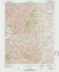
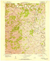
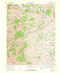
Historical Maps of Mavo Through Time
5 maps found